
Apps Like Luro for iPhone and iPad
Ranked alternatives
Showing 181–200 of 1,000 ranked alternatives.

Around Me Place Finder
APPASPECT TECHNOLOGIES PRIVATE LIMITED
Find places nearby and navigate
The app finds nearby places like restaurants, ATMs, and parks. It offers navigation, place details, and live weather information for the user's current location.
Rest Stops Plus
Allstays LLC
Find and directional access on the map
Find , welcome centers, and service plazas in the USA and Canada. Search by location or direction. View details including amenities like restrooms, picnic tables, and RV dump facilities.


Offline Maps: GPS Tracker GPX
SERGEI BEZDENEZHNYKH
Create and export maps with waypoints
Create and manage travel tracks with waypoints. Import and export maps in .gpx format. Use with unlimited storage. Access background barometer and pedometer data. Display color gradients for speed and height.

Austrian Map Mobile
Garzotto GmbH
Digital maps of Austria with features.
The app provides digital maps of Austria with hill shading and object names. It includes topographic maps and offers functions like searching by name or coordinates, GPS features, and measuring distances.
Street View 3D Live Google Map
Ekta Undhad
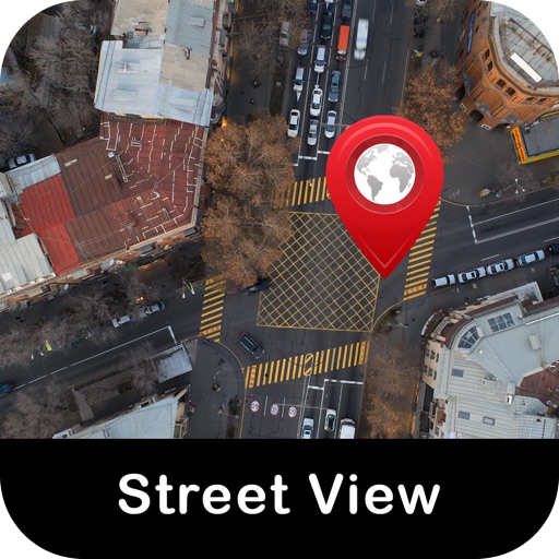
Explore streets with 360-degree views
Real-time maps and GPS locations. Access satellite imagery and 360-degree views for global exploration. Navigate streets with turn-by-turn directions. Track current location and update maps in real time.

Mars Info
Viktor Goltvyanytsya
Explore with gesture controls
Explore by rotating, tilting, and zooming a 3D globe. Select locations to view topographic and gravity data. Pinpoint key features like volcanoes, craters, and spacecraft landing sites.
ShowSky
Steven Suckow
Understand and learn the sky.
The app provides a comprehensive view of stars, constellations, and deep space objects with photos. It offers 180-degree and 360-degree maps of the visible sky, along with a "track" view to identify celestial bodies by pointing a device.


iSailGPS : NOAA USA RNC Charts
James Associates Inc.
Plot courses and track your route
Use device as high-performance GPS receiver with USA Raster Nautical . Access without cell signal. Navigate safely in emergencies. Sync with chart plotter if available. Download for offline use. Track location and display real-time data.
Location Tracker - GPS Tracker
SHELL INFRASTRUCTURE PRIVATE LIMITED
Mark locations and track your way back
Track and save GPS locations for cars, hotels, and other places. View maps in Roadmap, Satellite, Hybrid, and Terrain modes. Share locations quickly and search for points of interest with GPS navigation.
Pure GPS
CodeBurners
Set waypoints and navigate precisely
Enter coordinates to set waypoints. Navigate to locations using latitude and longitude. View maps with metric or customary units. Track direction and distance. Save and recall multiple waypoints.
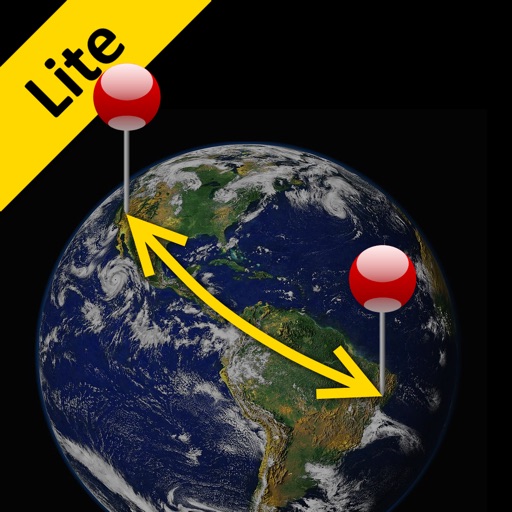
Distance Lite
Piet Jonas
Distance and direction between any places.
The app calculates the shortest distance or distance with a constant bearing between two locations. Users can select current location, enter coordinates, or choose from a database.


How we rank alternatives
Apps are ranked by functional similarity, category fit, rating confidence, and popularity.