

Apps Like Mount Story Database for iPhone and iPad
Ranked alternatives
Showing 121–140 of 1,000 ranked alternatives.


Compass Altitude Pro
连喜 罗
Track and navigate outdoors
Measure with high precision using internal sensors. Display directions and elevation changes. Track location and movement patterns. Set alerts and receive notifications. Sync data with external devices for detailed analysis.

Topo Maps Canada
DC Cloud Apps, LLC
Download and view topography
View topographic of for hiking, camping, and outdoor activities. Choose between Base Map and Toporama sources. Download for offline use. Track location, elevation, and movement on the map.

Truck & RV Fuel Stations
Kyle Modesitt
Find and RV facilities
Find fueling from brands like Loves, Petro, and Flying J in the US and Canada. View RV facilities, street addresses, and interstate exits. Check weather, search locations, and access company websites.

altimeter professional
FFZ srl
Track altitude and record position data
Displays altitude using a digital readout and an analog gauge. Tracks maximum height reached during use. Shows altitude accuracy and sensor quality. Utilizes GPS and barometric sensor for precise measurements.


Outdooractive. Hike and Ride
Outdooractive AG
Find approved trails and routes
Find officially approved hiking, biking, running, and ski touring routes near you and worldwide. View detailed trail information, including difficulty, length, and elevation. Plan trips, save favorite routes, and access maps and GPS navigation.


RV Dump Stations
Kyle Modesitt
Find and rest areas
Find , rest areas, truck stops, KOAs, campgrounds, and RV parks across the US and Canada. View locations offline. Update locations via crowdsourced input. Purchase once for permanent access. No subscription required.

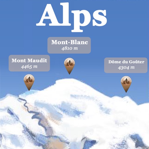
Alps Peaks AR
Jerome Goursau
Discover Alps peaks, lakes, and shelters.
The app references over 20,000 peaks, passes, lakes, and shelters in the Alps. Users can find names, altitudes, and distances to summits and locate various points of interest on a 2D map.


Backtrack: GPS Adventure Maps
Slope LLC
Plan routes, share locations, navigate trails
Create and share by drawing routes and adding markers for campsites and start points. Collaborate with others to edit and view in real time. Navigate trails, track progress, and receive turn-by-turn directions.


Silicon Valley Hopper
Via Transportation, Inc.
Book trips and track your ride
Book trips using your phone to arrange pickup by a branded vehicle. View real-time vehicle locations and track your ride. Access discounted fares and plan routes to and from specified locations including Caltrain stations and hospitals.

Big Island Hawaii Gypsy Guide
Gypsy Guide LLC
Explore routes and discover landmarks
Explore the Big with detailed routes and 460+ stories. Navigate GPS-guided stops at parks, Akaka Falls, rainforests, and historic sites. View lava flows, craters, and viewpoints. Download multiple routes in one .

ParkUsher: Find Parking Easily
9493-0971 Quebec Inc
Street instantly
Legal street with real-time maps showing available spots. Scan signs to confirm legality. Avoid tickets by identifying restricted areas. Navigate to open spaces using location-based guidance. Receive alerts for nearby changes.

Airmate
Myriel Aviation SA
Plan flights, track weather, view maps
Plan flights with detailed weather data, airport information, and NOTAMs. Overlay georeferenced charts on aviation maps. Access IFR and VFR plates for over 200 countries. Manage and download airport plates in advance.

How we rank alternatives
Apps are ranked by functional similarity, category fit, rating confidence, and popularity.