Add professional watermarks with customizable borders. View detailed EXIF data including aperture, shutter speed, ISO, and focal length. Choose from a wide selection of templates to enhance photos for social media sharing.
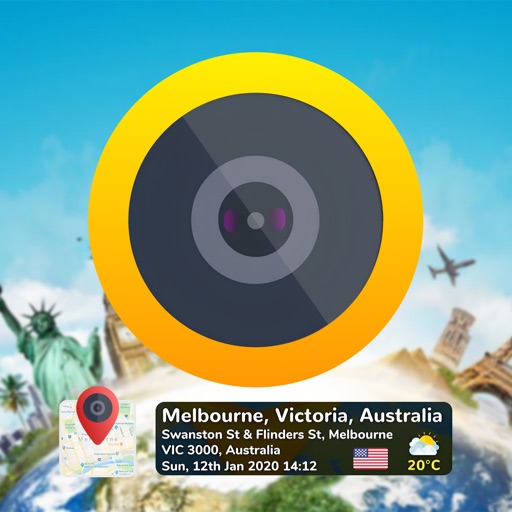
Add time stamps, GPS coordinates, and exact addresses to photos and videos instantly. Enable grid, aspect ratio, switch, flash, focus, and timer settings. Store user locations automatically and reverse-geotag addresses.
Mark locations on maps by pinning or entering GPS coordinates. Organize saved places into folders and access favorite spots quickly. Navigate using integrated Google Maps or preferred mapping services.
Manage account balance and due dates, set up and edit recurring payments. View bill history and access PDF bills. Report account and service issues directly. Receive targeted messages from Communications.
Measure distances, remember locations, get headings.
The app measures distances, remembers locations, and provides magnetic headings between selected points. It displays coordinates in decimal degrees and degree minute second formats, and allows users to save locations with custom names.
The app provides a collection of 30 measurement and utility tools. It includes features like a ruler, protractor, distance measurement using AR, and a flashlight.
The app displays current heading, course, speed, coordinates, and altitude. It offers street, topographic, and aerial maps, with cached maps available for a day.