Detect bumps and potholes in real time while driving. View driving statistics, bump history, and earned RoadCoins on a dashboard. Receive premium alerts for road hazards and contribute to a community road map to improve road conditions.
by Bo Zhao★ 5.02 ratingsNavigationFreeData updated 2026-09-06
Secure your phone with a single tap to activate privacy protections. Access a VPN for secure browsing and DNS changing for faster website loading. Generate one-time passwords for account authentication. Subscribe for premium features.
Report vehicle towing incidents, retrieve car locations, and access real-time community alerts. View high-risk towing areas. Learn local towing regulations and vehicle recovery steps. Share towing activity with others.
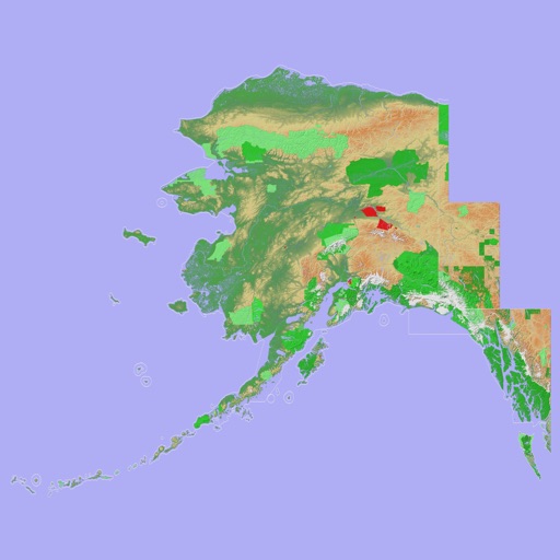
Navigate with a 3D topographic map of the USA. View detailed terrain and vector data offline. Use in vehicles or during outdoor activities. Access global maps online with automatic caching for offline use.
View 3D topographic maps of offline with vector data. Navigate by car, boat, plane, or on foot. Access worldwide satellite maps online with automatic caching. Toggle between map types and zoom to any location.
Monitor driving behavior and receive safety scores and feedback. Report incidents through first notice of loss. Access roadside assistance and make premium payments. View digital ID cards and track service history.
The app allows users to report 311 issues to the City of Chicago. Users can submit requests with photos and track their status through the city's Open311 system.