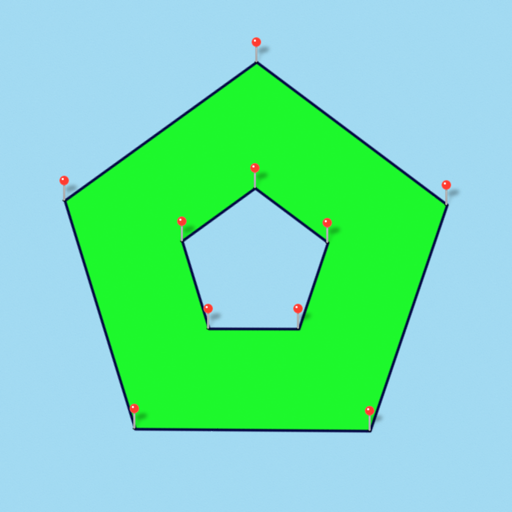
Measure areas and distances using GPS with real-time accuracy. Calculate land plots, fields, or property boundaries in multiple units including square meters, square feet, and acres. Add multiple points on a map to define custom shapes.
by Adheera Infotech★ 0.00 ratingsProductivityFreeData updated 2026-09-06
Convert units across length, area, volume, angle, mass, pressure, and more. Check real-time currency exchange rates. Recalculate instantly with updated values. Save frequently used conversions for quick access.
Measure objects using camera and AR. Tap to measure lengths, heights, and areas. Create floor plans by placing markers. Use ruler, level, and flash tools for precision. Save and share measurements directly.
Create floor plans by touching the phone against walls in low-light or obstructed areas. Manually draw layouts or use laser measurements with compatible devices. Export plans and share them directly.
Objects using an augmented reality camera interface. Select units like inches, feet, centimeters, or meters. Capture and save measurements. Share results via email or messaging. Sync measurements across devices.
Objects and spaces using AR and AI. Tap to set start and end points for digital measurements. View real-time measurements on the screen. Export results or share measurements directly.
Create floor plans by scanning interiors with LiDAR. Automatically detect walls, windows, and doors. Edit plans in real time. Share finished plans directly from the . Requires a LiDAR-equipped device and paid subscription.
Use to measure objects in real time with accurate centimeters, inches, and meters. Tap to measure distances, take unlimited readings, and view real-time AR visuals for precise results.
– uses AR to display a digital protractor and on the device screen. Users can precisely, calibrate the , and save measurements. The supports both indoor and outdoor use for accurate readings.
Helps estimate materials for various shapes. Users input dimensions to calculate volume and quantity. Features include slab, column, and post calculations. Saves results for future reference.
C- Pro allows calculations in feet, inches, and fractional inches. It includes modules for material estimates, crown moulding, conversions, area, volume, and arc calculations.
Land, roads, and bodies of water using satellite imagery. Calculate distances, areas, and perimeters. Add custom units for and . Draw interior polygons to exclude features like lakes.
Distances using Augmented Reality. Tap to place markers and calculate lengths. Undo measurements. Choose different colors for markers. Take screenshots. Switch between metric and imperial units.
The app provides core AutoCAD commands for light editing and fundamental designs. Users can access, create, and update DWG files with familiar drafting tools on a mobile device.