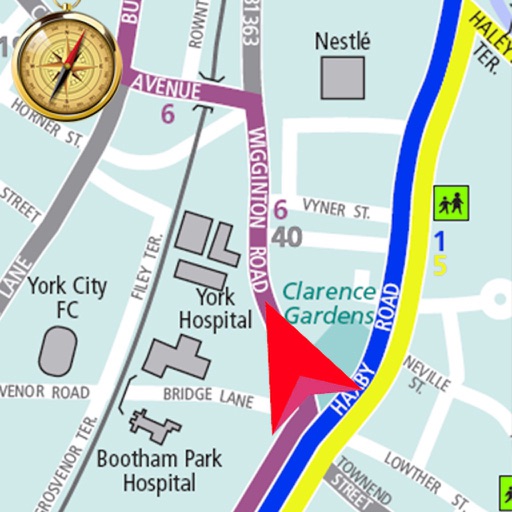
Explore streets and landmarks with 360° panoramic views and detailed maps. Plan routes, search for nearby locations, and and terrain imagery. Navigate with real-time map updates and interactive -level perspectives.
Plan routes on iPhone, sync them to Apple Watch. Navigate without phone or network. View maps and track progress. Set waypoints and receive turn-by-turn directions. Adjust settings for different activities like hiking, running, or cycling.
Plan trips with real-time maps and accurate route details. Find transfer options, travel time, ticket costs, and distances. Access nearby locations and navigate offline without internet.
Navigate mountain bike trails with real-time GPS-triggered audio guidance. Listen to trail insights and directions directly through headphones. Receive turn-by-turn navigation without needing to check a map.
The app offers New Mexico motorists mobile access to travel and traffic information. It includes an interactive map, live camera views, electronic message board data, and travel times for the Albuquerque metro area.
Plan trips with real-time schedules and route details. Find transfer options, ticket prices, and travel times. Access nearby locations and navigation within the . View site maps and service info. Function without internet connectivity.
Access real-time location tracking and search for destinations within Seoul. Use maps for navigation without internet. View maps with route details and locate nearby stations. Switch between English, Chinese, Japanese, and Korean language options.
Track speed with accurate GPS measurements and view average and maximum speed per trip. Choose units and monitor distance traveled and estimated travel time. Use turn-by-turn navigation to build routes.
Find stops, save favorites, track vehicles, search
Find nearby stops with one click. Favorite stops for access across devices. Get real-time updates on vehicle schedules and positions. Search by stop name, number, or route. Maps are resizable for better control.
Navigate trails and routes using detailed and turn-by-turn directions. Track location and elevation. Save favorite spots and share routes. Import GPX files and set waypoints. View terrain and land features for outdoor exploration.
View maps in multiple styles and overlay grids for precise navigation. Access live location data including coordinates, address, heading, and speed. Plan routes with detailed terrain analysis and save custom waypoints.