

Apps Like NMEA Send Location for iPhone and iPad
GPS data via WiFi, Bluetooth, USB
Sends GPS coordinates, speed, course, and heading via WiFi, Bluetooth, or USB using 0183 protocol. Transmits data at set intervals. Automatically reconnects after disconnection. Displays last sent coordinates.
Ranked alternatives
Showing 501–520 of 1,000 ranked alternatives.

LoKey - The Location Sharing Keyboard
Christian Inkster
Share via temporary weblink
Share real-time via temporary weblink. nd send links through apps, emails, or messages. Set expiration time for links. No data stored beyond specified timeframe. Requires GPS for accuracy.

Tractor GPS : Field Navigator
4Digsoft Technology Limited
Navigate fields with GPS precision
Navigate fields using AB line guidance for precise movement. Track GPS coordinates and record data. View maps and adjust routes in real time. Sync with farm equipment for accurate navigation.



MapPath Pro
Julien Roze
Record, measure, and track trips.
The app records user trips, displaying tracks, position, and live information like speed and altitude. It also measures distances, areas, and perimeters by placing points on the map.

Direction: Offline Navigator
Grand Apps Avenue Company Limited
Save locations, navigate, track destinations
Save locations and navigate to destinations or photo spots without an internet connection. Follow arrows for clear directions. Track parking spots, meeting points, hotels, or campsites. Use a simple, streamlined interface for easy orientation.


Altitude Compass
锦滔 欧
Measure and track location
Provides real-time , atmospheric pressure, latitude, and longitude data. Users can switch between GPS and device altimeter for readings. Camera integration allows photo capture with location data overlay.


iSpeed Speedometer
Jonathan Craig
Track speed, heading, and trip data
Display speed, heading, and trip data using GPS. Choose between mph, km/h, and kts units. Show current and next 24-hour weather based on location. Track altitude, odometer, and drive details.


MyLocation: save & share
Josef Lischka
Find and your location
Display current location with city, country, and coordinates. custom-named locations for parking spots or hiking trails. exact coordinates with others. View map with minimal interface.
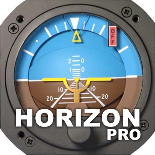
Horizon Pro
Jose Pedro Carlos & Cia Ltda
Navigate with magnetic heading information.
The app provides magnetic heading, altitude, speed, and flatness information. It utilizes the device's technological resources for operation and precision.

Map Tracker: Pinpoint Location
A Service Corp
Locations and create maps
MapTracker allows users to drop pins on a global map and categorize them into collections. Pins can be color-coded and annotated with detailed notes. Users can search for locations, share maps, and sync data across devices.


Retrace
reid holmes
Record activity and track GPS data
Record GPS tracks for hiking, running, or biking. View distance, speed, and elevation in real time. Display map location with data or use grid view without it. Show elevation profiles with waypoints for detailed route analysis.

How we rank alternatives
Apps are ranked by functional similarity, category fit, rating confidence, and popularity.