Display a compass overlay on the map. Navigate with turn-by-turn directions. Show current speed, altitude, and heading. Indicate device orientation with a level feature.
The app sends the user's location to a specified server and script. It supports background updating and detects significant location changes when closed or in the background.
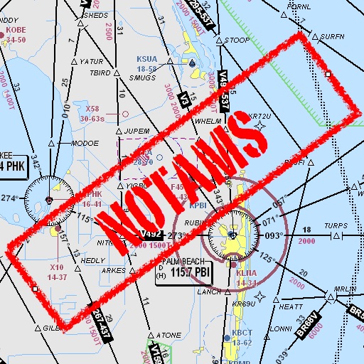
Assists pilots with interpreting NOTAMs, METARs, TAFs, and Area Forecasts. It decodes acronyms and contractions for both inflight and ground use. Users can search for details and weather reports.
Calculate of geometric shapes including square, rectangle, parallelogram, triangle, trapezium, rhombus, and circle. Choose from multiple calculation methods. Input dimensions and receive results. Save and share calculations.