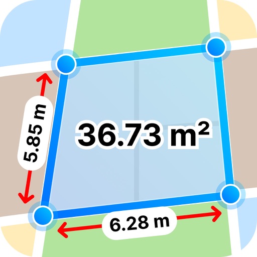
The app integrates mapping technology and augmented reality for outdoor experiences. It offers an offline peak database, AR peak visualization, and multiple map providers and types.
The app provides an emergency service that dispatches rescue services to a patient's exact location. It overcomes challenges such as providing precise locations and language barriers by sending GPS coordinates and information in the local language.
The app provides a step-by-step checklist to guide users through securing their vehicle and getting assistance. It offers one-tap calling to roadside assistance providers and displays the user's precise location with coordinates and a street address.