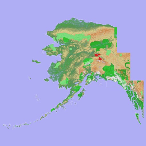
Navigate using terrain-aware offline maps and star navigation. Access on-device AI for guidance without internet. Communicate via offline Wifi/Bluetooth Mesh for peer-to-peer coordination.
by ANDESMAYA LLC★ 5.02 ratingsNavigationFreeData updated 2026-09-06
The app provides a 100% offline travel guide with zoomable regional maps. It features augmented reality, GPS capability, and interactive points of interest for navigation and discovery.
The app provides a 100% offline travel guide with zoomable regional maps. It features augmented reality, GPS capability, and interactive points of interest for navigation and discovery.
Navigate using offline GPS charts and plot routes. View real-time position, speed, and depth. Mark waypoints and track progress. Share maps and charts securely. Set alarms for tides and weather. Sync with external devices for accurate .
View topographic maps of New Zealand's . Locate current position via GPS. Search for place names. Access map data offline without cellular coverage. Display detailed terrain and geographical features.
View 3D topographic maps of offline with vector data. Navigate by car, boat, plane, or on foot. Access worldwide satellite maps online with automatic caching. Toggle between map types and zoom to any location.
The app displays geographic data on a map for searching buildings, rooms, and locations at CERN. It offers offline functionality, routing with three travel modes, and shuttle schedules with full CERN coverage.
Access digital editions of Fit magazine for offline reading after downloading via Wi-Fi or data. Browse fitness, health, and wellness content. Download free issues and read without an internet connection.