Apps Like Street View 3D Live Google Map for iPhone and iPad
Explore streets with 360-degree views
Real-time maps and GPS locations. Access satellite imagery and 360-degree views for global exploration. Navigate streets with turn-by-turn directions. Track current location and update maps in real time.
by Ekta Undhad★ 4.7206 ratingsNavigationFreeData updated 2026-09-06
3D maps with high-resolution terrain details. Track real-time GPS locations. Explore satellite imagery and active satellite data. Navigate through cities and rural areas with detailed landscape visuals.
View detailed with offline access. Search for locations by address or category. Plan routes considering road preferences and vehicle size. Track inclines and record GPX tracks. Customize data access and privacy settings.
Explore maps with detailed satellite views, hiking trails, and topography. Navigate transport networks and view railway routes. Access terrain analysis and seas. Customize map layers for OpenStreetMap and tile-based maps.
Provide real-time with maps and traffic alerts. Find shortest routes to any destination globally. Use voice guidance for directions. Track progress and receive updates during travel.
Navigation allows users to view detailed maps with higher resolution and more street names. Display four times more map content on the screen. Includes sharper satellite imagery and points of interest. Adjust map scale for comfort.
Provide real-time GPS navigation with voice guidance and live traffic updates. Display 3D maps and satellite views. Offer offline map access and local recommendations for food, events, and activities. Include Google Street View integration.
Monitor speed with unit switching between KM/H, MPH, and KTS. View analog or digital speedometer displays. Track journeys with detailed logging and route mapping. Integrate music playback and receive real-time weather updates.
The app measures distances, perimeters, and areas with precision over satellite images. It calculates surface areas, dimensions for fencing, and more without needing to be on location.
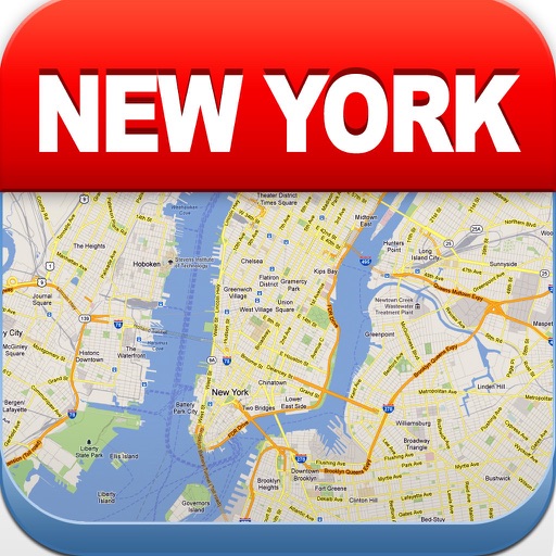
View maps of New City, including subway and airport routes. Navigate using real-time GPS without internet. Bookmark addresses for trip planning. Access top attractions and explore without data usage.
The app provides auto navigation for the current location and allows users to create routes on Google Maps. It includes the latest street view, traffic data, and four map types.
Navigate using drive and walk routes with real-time time and distance calculations. Search by address, place, or coordinates. View satellite maps and direction. Share locations, use compass, and track GPS.
A 3D rendered with real-time satellite imagery. Explore famous locations with 360° views and detailed information. Access premium content via subscription plans. Navigate using GPS cameras and global images of cities and landmarks.
Find lines and parcel details with accurate land data. Check boundaries, values, and owner contact information. Search for similar properties using detailed land records.