Track farm inputs by organization, farm, field, or crop zone. Record and manage application tasks, recommendations, and yield data. Capture and convert advisor recommendations. Monitor weather and commodity prices.
Drivers receive harvest and load information, view load and delivery lists, add notes, collect signatures, and get directions via Google or Apple Maps. Harvesters view cut sheets, mark items as cut, and track load lists and expected arrival times.
The app allows field samplers to submit soil, tissue, and water samples to the NutriScription platform. It supports adding growers, farms, and fields, and includes mapping of geospatial boundaries.
Monitor LaserWeeder operations with real-time metrics and daily performance data. Access group chat with multimedia support. View job-specific and spatial analytics. Control and communicate remotely with the machine.
Monitor crop health using satellite imagery. Analyze field data to identify issues. Generate reports for farmers and stakeholders. Track growth patterns over time. Share insights with team members and authorities.
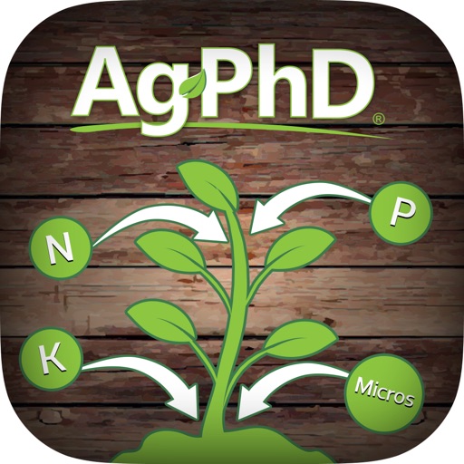
Reference for planning fertilizer applications on farms.
The app provides a reference for planning fertilizer applications. Users select a crop and desired yield to determine the amount of vital crop nutrients needed.