Track real-time vehicle locations and visualize routes. Create and manage geofences. Set speed alerts and monitor specific events. Generate fleet performance reports and playback trip routes. Receive multiple alerts for location-based triggers.
Plan and track ski or snowboard runs with GPS navigation and 3D resort . View detailed trail information and elevation data. Record runs and analyze speed, distance, and time. Share routes and track progress over multiple sessions.
Navigate to cell towers using a built-in compass. View precise locations and details. Plan travel routes based on strength. Troubleshoot weak signals by identifying nearby towers. Optimize mobile setup with insights.
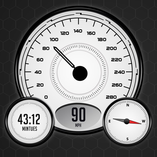
The app records vehicle travel data, displaying real-time measurements like speed, distance, and altitude. It offers features such as trip recording, customizable themes, speed limit alerts, and HUD mode.
Navigate with detailed turn-by-turn directions using real-time alerts and updated . Set destinations, view routes, and receive voice guidance. Save favorite locations and track progress on trips. Receive updates and reroute automatically.
View live traffic density, road conditions, and accidents on a map. Display security cameras in real time. Receive smart alerts for speed limits. Track driving routes and monitor vehicle location. Share trip details with others.
Track speed with GPS precision for driving, cycling, running, or walking. View real-time speed in mph, km/h, or knots. Log trip details including distance, time, and average speed. Customize display settings for different activities.