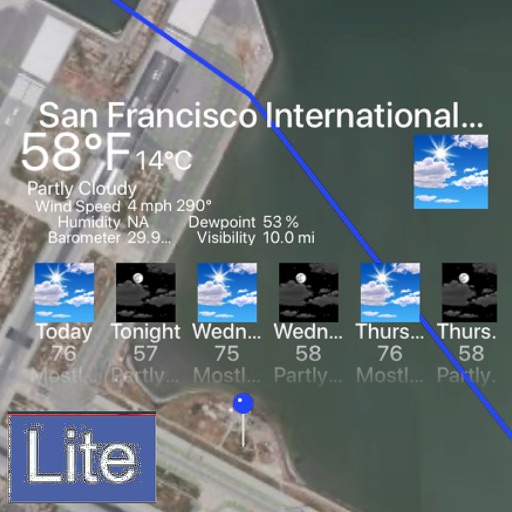
The app displays aviation weather observations and forecasts using a maps-based interface. Users can view METARs and TAFs in coded or translated formats, with color-coded pins indicating forecast or observation availability.
The app displays temperature, weather, and wind details for the current location. Users can move the map to update information, including temperature in Fahrenheit, Celsius, and Kelvin, wind direction and speed, air pressure, and humidity.
The app provides real-time traffic and traveler information for South Carolina. Maps show current traffic conditions, incidents, and construction events on major routes, with roadside camera views available.