Record workouts with heart rate, speed, elevation gain, and other metrics. Import and export GPX and FIT files. View offline with custom tiles. Overlay routes from GPX, FIT, KML, or GeoJSON files. Generate walking and cycling directions.
Rent bikes from any station, return to any station. View real-time availability. Find nearby stations and routes. Track ride duration and cost. Unlock bikes with a digital pass. Explore Downtown Las Vegas with maps and points of interest.
The app provides real-time GPS tracking for outdoor activities. It offers route planning, navigation, and track recording with live statistics, all while ensuring user privacy with no data collection.
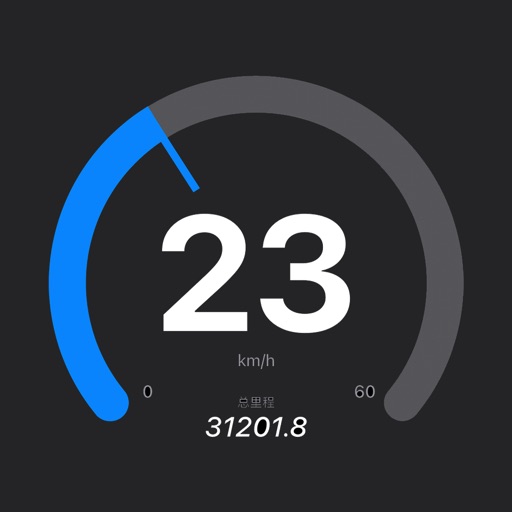
Records and displays real-time location data. Users can monitor distance, speed, and duration during activities. It supports multiple modes including walking, running, cycling, driving, and boating. Live tracking shows routes on a map.
Configure and customize product settings, including lighting preferences and safety features like fall alerts. Adjust settings according to user needs. Monitor and manage devices for personalized driving safety.
Records trips automatically, tracking distance, duration, elevation, top , and overspeed events. Displays data on a map with visual markers for parking, top , and overspeed points. Allows users to save trips and view detailed summaries.
The app shows users available parking garages in Swiss cities with a Parking Guidance System. It displays the current number of parking spaces, rates, and provides navigation to the nearest parking.