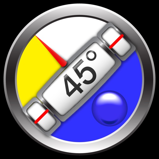
Measure angles with horizontal, vertical, and dual-axis guides. Use bubble and circle levels for precise alignment. Set custom zero points for relative measurements. Lock readings for easy recording. Display real-time degrees and visual indicators.
by Kartika Ardiani★ 4.964 ratingsGraphics & DesignFreeData updated 2026-09-06
Measure distances and areas with precise tools. Use the ruler and square area functions. Change units of measurement. Save measurements for later. Access tips and advice. Remove ads with a subscription. Measure height with the professional package.
Scan documents and images for precise digital copies. Measure heights and object dimensions using phone camera. Automatically count items like pipes, logs, and pills. Save and share scanned files directly.
Check with a glance using a customizable . Choose between small and medium sizes. Each status has a unique drawing. Access funny movie quotes within the . Features accessibility options.
The app measures angles and aligns objects using the camera. It offers a distance/height estimation tool and a traceable level for various measurements.
Measure ambient noise and levels in real time with readings and graphical displays. Track noise exposure over time using NIOSH or OSHA standards. View numerical and visual representations of levels.
Measure angles on photos or in real time using the camera. Adjust and compare multiple angles simultaneously. Scale, move, and change color of measurement tools for accurate readings. Save and review measurements permanently.
Measure distances and dimensions using AR and camera. Tap to place markers and view real-time measurements. Save and share measurements. Sync with other devices. Adjust for scale and unit preferences.
Measure horizontal floor areas in square feet or meters. Calculate vertical wall areas in square feet or meters. Determine lengths between two points. Place virtual furniture to assess space size.
Capture and annotate object photos with dimensions, arrows, and angles. Add text comments for clarity. Share annotated images for better understanding. Store and retrieve measurements for future reference.
Measure sound levels with precise readings. Detect exposure risks and set safety alerts. Record audio clips for analysis. View real-time sound wave visualizations. Share measurements and recordings. Sync data across devices.
Calculates distances between map points and areas of non-overlapping polygons. Users can switch between metric and imperial units. Coordinates are displayed in decimal or degrees, minutes, and seconds.
Measure angles, level surfaces, and track progress
Measure angles and slopes with the protractor tool. Use the level function to check horizontal, vertical, and 45° angles. Measure height, length, and width with the caliper tool.