Securely connect to remote servers to bypass geo-restrictions. Encrypt internet traffic to protect data. Anonymize online activity. Access blocked websites. Manage connection settings and server locations.
Track blood sugar levels with manual or automatic logging. View clear stats and graphs for progress. Sync data online or offline and share CSV files with healthcare providers. Integrate with Health for data access.
Tracks location, speed, altitude, heading, acceleration, g-force, and atmospheric pressure. Retrieves and displays current weather data. Records tracks up to 10 minutes or 10 kilometers. Plays back tracks at multiple speeds.
View detailed with offline access. Search for locations by address or category. Plan routes considering road preferences and vehicle size. Track inclines and record GPX tracks. Customize data access and privacy settings.
Create an account without requiring a phone number or email. Send and receive messages through a decentralized server network that ensures no data breaches. Communicate anonymously with no IP address exposure.
Track runs by recording distance and vertical feet. Log workouts with Apple Watch and sync to Health . Share real-time locations with friends on an interactive trail map. View and replay recorded runs.
Securely store usernames, passwords, and credit card details using military-grade AES 256-bit encryption. Automatically log into websites with a single tap. Access data with Lock, Dot Lock, or Touch ID.
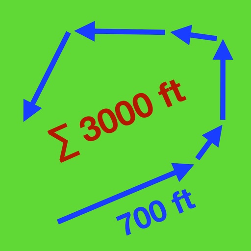
Distances and areas using a map interface. Start recording by pressing the record button and stop with the stop button. Pause to add new sections. Tap labels to remove sections or the start point. Manage measurements by connecting points.
Access gates and doors without using your phone. Activate entry via voice command or button press. Track unit locations and receive notifications about access events. Manage access permissions for others.
Offline map for Elden Ring displays locations of enemies, dungeons, Sites of Grace, Ashes of War, equipment, items, and materials. Tap icons for detailed descriptions. Track collectibles with a checklist.
Provides GPS altitude and pressure altitude readings. Displays speed in kph, mph, and knots. Measures barometric pressure in multiple units. Tracks acceleration in G forces. Shows location, magnetic, and true heading.
Create GPS traces with waypoints and save them as GPX files. Use offline maps for navigation without time limits or ads. Share track data and contribute to Street Map. Keep routes private and edit existing traces.
Log details, track usage, and record maintenance for models. Use QR codes to quickly log flights and batteries. Monitor fuel consumption for nitro and gas models. Support multiple model types including planes, drones, and helicopters.
Track routes by enabling location and pressing record to start while walking or riding. Stop recording to suspend, pause to add new sections, and manage segments by connecting gaps or removing points. Relocate the entire as needed.
View groomed and closed runs with a clear trail map. Share real-time locations with friends and track their positions. Record runs, log vertical feet and distance, and sync with Apple Health for workout data.