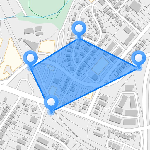
Measure areas and distances on maps by placing points and calculating the total or route length. Save and share specific locations as points of interest. Calculate GPS areas with high accuracy.
The app allows users to log and record activities with user-definable logs for tracking desired events. It supports various data types, photo storage, and data import/export functionalities.
Track harvest data directly from the field using paired indicators. Record unlimited yield totals and monitor inventory levels. Reconcile truck loads and track storage capacity.
The app displays fleet vehicles and mobile assets on a map for real-time tracking. Users can view vehicle speed, stopped, and idle time, and utilize location sharing.
Manage lubrication routes, perform daily inspections, and conduct top-ups offline. Submit completed routes for tracking and compliance. Access scheduling and task management through a web platform. Monitor equipment condition and maintenance history.
Manage maintenance schedules and track issues for vehicles or properties. Store documentation and location data. Share information with others and request assistance on tasks. Organize contacts and monitor asset status.
The app combines mobile device GPS with handheld mapping to plot bearings and determine Crosspoints. It simplifies the tracking process by eliminating manual map handling and plotting intersection points.
Conduct inspections for healthcare facilities with customizable checklists. Mark items as passed or failed. Document failed items with photos and notes. Access rounding solutions like Environment of Care Tours and Zone Maintenance.
Monitor and manage operations in real time. View vehicle locations, track trip details, and review summaries. Control GPS devices, set alerts, and access historical data from an Apple device.
Track and locate vehicles and keys using Bluetooth and GPS. View real-time locations on a map. Receive alerts when devices are moved. Manage multiple devices and set geofences.