View topographic of for hiking, camping, and outdoor activities. Choose between Base Map and Toporama sources. Download for offline use. Track location, elevation, and movement on the map.
Track precise location with Decimal Degrees, DMS, UTM, and MGRS formats. Access topographic maps and route planning. Set waypoints and measure distances. Share coordinates via email or messaging. Sync with GPS devices for real-time navigation.
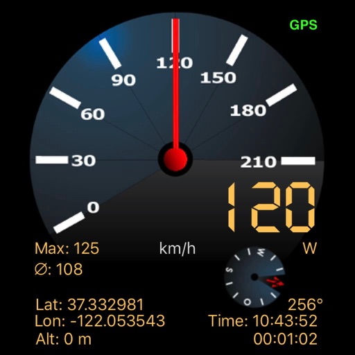
The app displays current speed in real-time using the iPhone's GPS receiver. It features analog or radioclock style displays and an optional HUD mode for projection onto a windshield.
Uses AR to display directions in real environment. Mark locations, addresses, and altitudes in surroundings. Record and screenshot navigation moments. Requires location services for accurate functionality.
Calculate distances and areas using GPS. route lengths and track movement. Access GPS Camera, Compass, and Speedometer for navigation. View Satellite, Normal, Terrain, and Hybrid maps. Locate nearby points of interest and monitor live positions.
The app adds a compass to the iPad, utilizing the built-in magnetic compass or a sun compass. It is suitable for outdoor activities like hiking and biking.
Navigate with compass, location, altitude, and speed
Navigation displays true and magnetic , current location, altitude, and speed. Users can track movement and view detailed compass readings. Features a clean, intuitive interface with a modern flat design.