

Apps Like Digi Compass for iPhone and iPad
Ranked alternatives
Showing 361–380 of 1,000 ranked alternatives.


DuckGPS - GPS Speed Tracker
欣明 封
Rotate duck, track , customize outfit
Customize a duck character with various outfits. Rotate the duck 360° for positioning. Track with a spinning propeller that reacts to real-time GPS data. Activate Night Mode for reduced eye strain during nighttime driving.


GPS Map Camera & Video Capture
Khushali Sabhadiya
Photos with location and map data
Take photos and embed GPS location data. Add latitude, longitude, date, and time. Shoot videos and include watermarks. Add altitude and magnitude information. Share location-based content with others.

GPS Fields Area Measure on Map
Chirag Gabani
Land areas with GPS
Land using GPS technology. Define boundaries on maps to calculate plot sizes. Calculate distances and areas for properties or regions. Save and share measurement data. Sync with mapping services for accurate results.

Live Street View :Earth Camera
abderrahim marari
Navigate streets and explore landmarks
Navigate using a 3D map with interactive routes. real-time imagery of any location. Calculate distances and areas between points. Explore landmarks and locations globally.

Max Speed
On-Core Software LLC
Log speed, time, and distance.
The app logs a user's fastest speed, elapsed time, and distance. It can map a route traveled and export GPX files.
Speedometer Bike&Car Tracker
FIBO MOBILE BILGI TEKNOLOJILERI ANONIM SIRKETI
Track speed in mph and kmh
Track speed in real-time with GPS for cars and bikes. View speed in mph and kmh using a HUD display. Set speed alerts and log trips. Monitor routes and receive accurate speed readings. Sync data for trip analysis.

GridPoint GB
George MacKerron
Locate yourself with grid references
Locate yourself on OS maps using GPS and compass. View current grid reference and heading. Convert coordinates with OSTN02 for accuracy. Track easting, northing, and tetra. Includes Apple Watch and complication.
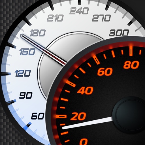
Car's Speedometers & Sounds
Miroslaw Kapalka
Supercar speedometers and engine sounds.
The app provides detailed supercar speedometers and authentic engine sounds. Users can select MPH or km/h units and utilize a compass and speed alarm.

Find Me: GPS Coordinates +
Jason Attard
Get coordinates with GPS accuracy
Display and coordinates using iPhone GPS. View precise location data instantly. Features a clean interface for quick reading of coordinates. No unnecessary features or tabs.
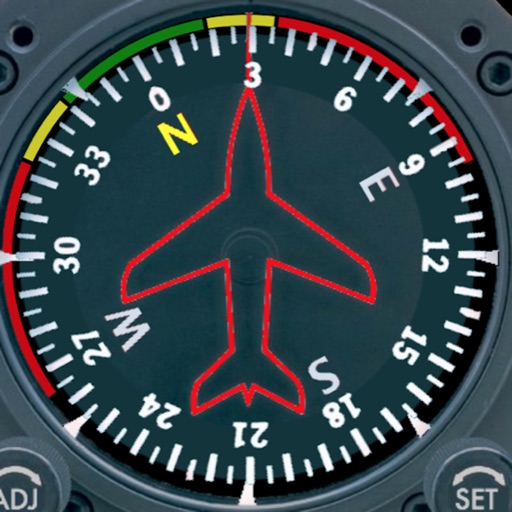
Aircraft Heading
Sean Flanagan
Track with realistic indicator
Displays a photorealistic -style indicator with both analog and digital readouts. Users can toggle rotation lock, simulate the instrument indoors, and view improved graphics. Supports latest iOS versions and includes bug fixes.


tcSpeeds
Transitional Continuum
Track speed, direction, and performance
Track speed, average speed, maximum speed, and directional speed. Measure velocity made good and wind speed. Calculate the Pilot Performance Index to assess flight performance. Compare results with others or against autopilot settings.

trip 3in1(compass, map, altimeter)
友杰 邱
Compass, map, and altimeter tool.
The app provides a compass for direction, a map for location and navigation, and an altimeter for measuring height above sea level. It also offers a sharing feature to send current positions with pictures and text to contacts.

Digital Speedometer Free
Chad Hine
Monitor speed and direction in real time
Monitor speed and direction with a in metric or imperial units. Display major road and highway speed limits. Highlight current speed in yellow for slight excess and red for significant excess. Supports landscape and portrait orientations.

Crab and Shrimp Pot Tracker
Scott St George
Track pots, depths, and catches
Track pot depths, locations, and catch totals. Access NOAA marine maps with water depth data. Navigate to pots using map and compass. View heatmap modes for map navigation. Add notes to individual pots.

MapTrace+
Nasir Jeevanjee
Track terrain and analyze coordinates
Trace paths on maps to analyze elevation, distance, gradient, and bearing. View elevation and grade profiles of traced routes. Calculate area of arbitrary paths. Use satellite or default map views for terrain study.
How we rank alternatives
Apps are ranked by functional similarity, category fit, rating confidence, and popularity.