View topographic of the United States with options for standard or hybrid map sources. Download for offline use and track current location on the map. Navigate using map features and explore terrain details for outdoor activities.
Real-time monitoring displays current via a virtual dashboard. Set limits to receive alerts. Track driving history and statistics. Share trip data with others. Syncs with iPhone for accurate GPS readings.
Track cycling performance with real-time speed, distance, and route data. Choose from digital, analog, or map displays. View ride history and manage past rides. Automatically pause timing when stationary. Swipe to switch between displays.
View real-time camera and map views with markers and up to 8x zoom. Adjust orientation for navigation. Track bearings for land, sea, or air travel. Sync with devices for accurate directional guidance.
Access real-time data and control virtual . Tune global aviation radios or create custom radio aids. Practice navigation techniques and use as a training tool or supplementary instrument during flights.
Display markers on the including the Moon for real-time phase tracking. Add custom markers with Premium mode supporting up to 10 entries. Check accuracy affected by nearby metals or magnets. Navigate using intuitive controls without requiring a map.
Navigation allows users to save locations using the red cross on a map. Users can retrieve saved locations by following a red arrow in Augmented Reality.
Navigate waterways with detailed charts, build routes, and record tracks. View tides and currents. Set waypoints and track progress. Share maps and access free US charts for safe boating.
Use to determine directions and navigate. Rotate device 360 degrees for orienteering. Access camera preview to align with surroundings. Set bearings and track movement without GPS.
Track and distance in miles and kilometers with real-time updates. Switch between KM/H and MPH modes. Display average and maximum . Show altitude and compass. Monitor GPS signal accuracy. Use analog . Work offline without internet.
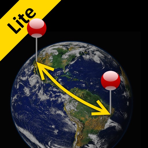
The app calculates the shortest distance or distance with a constant bearing between two locations. Users can select current location, enter coordinates, or choose from a database.
Track boat movement with a showing direction. View current in knots, miles, or kilometers. Set limits and switch units. Display a map of your cruise route and share it. Log maximum and average .
Navigate using auto-direction based on current location. Create routes on Google . Access latest Street View and traffic data. Search locations with simple input. Add multiple pins and view full-screen . Display latitude and longitude.
Display speed limits and alert for overspeeding. Show speed camera locations and distance. Provide average and maximum speed tracking. Include odometer and unit selection for KMH/MPH. Display current road name, weather conditions, and temperature.