Navigation provides functionality for directional guidance. Displays current direction and . Tracks movement and offers map integration for route planning. Allows users to set waypoints and navigate between locations.
Learn to understand the Quran with structured lessons, real-life practice, and live tutor support. Practice vocabulary, grammar, and pronunciation. Track progress and receive feedback. Access audio and text resources for Quranic study.
Track altitude, elevation, and GPS coordinates. Monitor speed in km/h or mph. View compass direction. Check GPS signal quality. Log location for outdoor activities like running, mountaineering, or traveling.
Monitor trip data with live metrics like average speed, current speed, top speed, distance, direction, travel time, stationary time, and clock. Customize display style and speed units. Arrange metrics on screen.
The app records strike and dip measurements, bearings, and plunge. It simultaneously displays the user's latitude, longitude, and elevation, and saves measurements with photos and notes.
The app processes total and total-annular solar eclipses from 1900 to 2100, including partial solar and lunar eclipses. It provides universal times, geographical coordinates, maximum duration, and umbra path details for observation.
The app combines puzzle and thinking elements to help children develop logical reasoning skills. It offers 96 levels across two difficulty settings and three distinct graphic themes: Animals, Pharaohs, and Middle Ages.
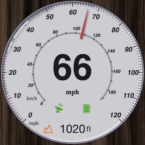
GPS measures and displays speed for walking, jogging, cycling, cars, boats, trains, and airplanes. Users can select display units and choose between two scales. Trip recording and average speed tracking are available.
The app locates TV satellites using the device's sensors to determine physical location and calculate antenna alignment. Augmented Reality View displays satellite icons through the camera, aiding in line-of-sight assessment.
Allows users to track trails with real-time GPS and high accuracy positioning. It offers multiple map layers including OpenStreetMap, Satellite, Terrain, and Topographic views.
Access live streams of religious talks and lessons on beliefs, worship, mutual dealings, social etiquette, and moral character. View archived audio recordings, announcements, and literature.