Search destinations, get shortest routes, navigate
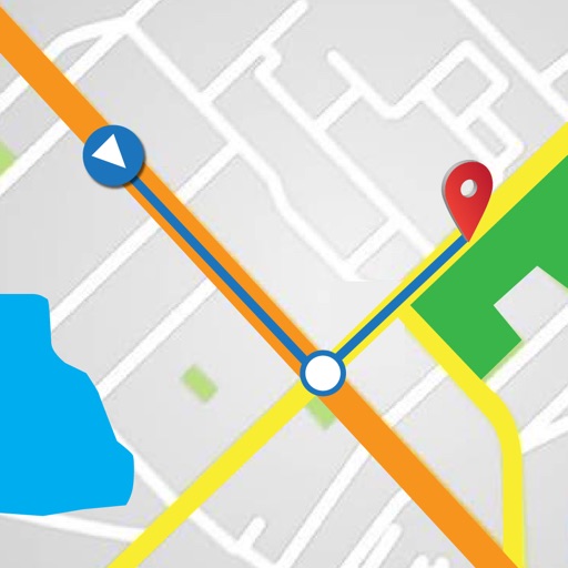
Find locations and plan routes using a 2D map. Search for points of interest or destinations. View the shortest route on the map. Navigate with a simplified interface.
Calculate ballistics, track distance, sync rangefinder data
Smart Calculator: Input environmental parameters like wind speed, angle, and ammunition type to generate real-time bullet drop and windage corrections.
Provides GPS positioning for boats in the Arcachon Basin. Displays buoys and channels on a map. Allows users to record their boat's location and navigate safely between oyster farms and waterways.
Monitor generator status and control operation remotely. View fuel level and runtime. Adjust settings and receive alerts. Requires compatible hardware and serial number.