Check current weather conditions, radar, and forecasts for Indianapolis and surrounding areas. View real-time temperature, precipitation, and wind data. Access exclusive tools and insights for local weather patterns.
by BTK Enterprises, LLC★ 5.04 ratingsWeatherFreeData updated 2026-09-06
The app provides current weather information, daily and hourly forecasts, and severe weather alerts. It features 250-meter radar, future radar, and high-resolution satellite imagery for detailed weather tracking.
Monitor rainfall with real-time radar maps and daily totals. Set alerts for nearby . Track historical rainfall data by day, week, month, or year. View precipitation insights and analyze trends. Share rainfall data via email or social media.
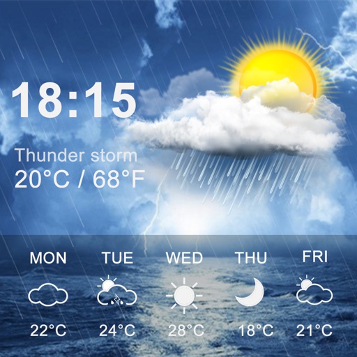
The app displays current weather conditions including temperature, humidity, and wind speed. It also provides a 5-day forecast for the user's city, requiring an internet connection.
View real-time satellite cloud imagery and interactive maps. Access colour-coded weather alerts by severity. Get accurate 10-day forecasts with hourly details. Save favorite locations. Use integrated GPS and compass for location awareness.
Monitor real-time strikes with interactive maps. Receive instant alerts for thunderstorms and nearby . Check predictive storm tracking and local weather updates. Determine safety by viewing proximity and storm intensity.
Get weather forecasts for 8 million locations worldwide. View 15-day forecasts with summary or hourly details. Create and save custom locations. Access radar loops for the US and parts of Europe.
Displays current with TV-style graphics. Swipe left or right to navigate screens. View temperature, precipitation, and wind conditions. Toggle between day and night modes. Receive alerts for severe updates.
View live scores and highlights. Access athlete stories and user-generated content. Watch videos and stream games. Check weather updates. Customize content based on location. Share user-generated content.
Predict natural disasters by inputting current weather conditions. Identify wildfires, fluvial floods, pluvial floods, flash floods, earthquakes, hurricanes, and tornadoes. Receive high-accuracy forecasts and alerts for each event.
Receive critical weather alerts that bypass Do Not Disturb settings. View current conditions, hourly forecasts, and extended weather predictions. Access local and regional radar imagery. Track storm developments with StormWatch+ features.
The app provides seven-day surf forecasts, current weather, tides, and buoy data. Users can view detailed hourly wind and swell information for selected locations.
Provides 3-day forecasts and 14-day outlook. Displays current conditions, temperature, and precipitation. Includes atmospheric pressure and wind speed. Features widgets for quick access. Automatically detects location for accurate forecasts.
Central Mississippi's customized weather forecasts.
The app provides hour-by-hour forecasts for the next day and week ahead for Central Mississippi. Users receive personal alert notifications for significant weather and can access real-time forecasts and interactive radar for anywhere in the U.S.
Access real-time updates from .COM and WLNE-TV. Track local and national events, receive storm forecasts, and follow sports coverage. View breaking alerts and watch live weather updates.
View real-time updates with dynamic backgrounds and customizable themes. Access accurate forecasts from multiple data sources. Track precipitation, temperature, and wind conditions. Set location-based alerts. Sync with calendar for event checks.
Watch live video updates and read local news articles from trusted reporters. Access real-time weather data, severe condition alerts, and an interactive radar map. Receive optional breaking news notifications.
View current conditions and temperature, precipitation, and wind speed graphs for today. Access weekly forecasts and corresponding graphs. Switch between Celsius and Fahrenheit. Choose from five color themes with matching icons.
View current updates multiple times per hour. Access high-resolution satellite imagery and 250-meter radar. Save favorite locations and use integrated GPS for location awareness. See hourly and daily forecasts from computer models.