Record and share location-based spots with friends. Upload spots from any location. Search and filter by name, location, type, lighting, and coverage. View details and manage private spots.
by HARRISON ANDREW LISEWSKI★ 5.02 ratingsNavigationFreeData updated 2026-09-06
Explore self-guided walking tours with detailed city maps. Navigate to attractions and hidden spots. Set waypoints and track progress. View points of interest and receive directions. Share locations and save favorite routes.
Explore , discover landmarks, navigate city streets
Explore cities with self-guided walking tours featuring popular attractions and lesser-known spots. Navigate using a detailed city map to find points of interest.
Capture and import photos of maps or diagrams. Overlay images on Apple Maps for navigation. Track location within visual references. Save and share custom MapMaps. View detailed location markers and directions.
Explore self-guided walking tours of the with detailed maps and curated routes. Navigate through attractions and hidden spots. Locate points of interest and track your progress on an interactive map.
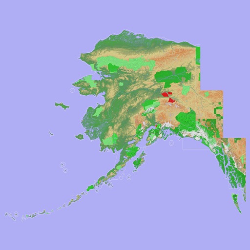
View 3D topographic maps of offline with vector data. Navigate by car, boat, plane, or on foot. Access worldwide satellite maps online with automatic caching. Toggle between map types and zoom to any location.