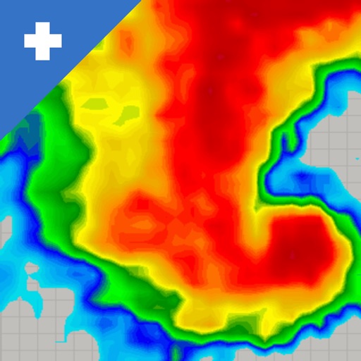
View real-time mosaics with 250-meter resolution for detailed storm tracking. Zoom in on weather patterns and analyze data. Save and share images. Access historical data for comparison. Set location-based alerts for severe weather conditions.
Track flights in real time with live air traffic data. View aircraft positions on global maps. Identify planes by pointing device at them. Monitor flights of contacts or follow global aircraft movements. Set alerts for specific flights or locations.
Track elevation and atmospheric pressure with and barometer. Use compass for direction based on satellite location. Access weather updates and speedometer. Log steps with pedometer. View maps and use binoculars for scouting.
Track and save locations with map marking and note-taking. Record trails and tracks. Set land boundaries and access points. Share coordinates and view area details. Sync with trail camera zones and tree stand spots.
Locate parked cars using augmented reality and radar tracking. Save locations with a timer to avoid parking fines. View simple map views and set alerts for parking duration.
Track location in real time and view historical GPS data. Monitor vital metrics remotely. Playback past trips and set geofencing alerts. Share location with others via link.
Plan flights with detailed route mapping, weather data, and fuel calculations. Access real-time weather briefings and interactive charts. Log flight details and manage preflight checklists. Sync with avionics for consistent navigation.
Track vessels using real-time AIS data. View names, types, and destinations. Receive alerts when tracked vessels depart or arrive. Identify ships and monitor their movements globally.
Weather "View current conditions, forecasts, and radar maps. Set location-based alerts. Customize notifications for severe weather. Share forecasts with others."
Locations with real-time imagery and GPS tracking. Explore high-resolution of any global area. Zoom in to see detailed terrain and features. Save and share specific views. Navigate using location-based data and overlays.
Track flights with high-precision and plane maps. Check real-time status for delays, gate changes, or cancellations. View paths, altitudes, and speeds. Receive notifications for updates and arrival times.
Receive real-time alerts for speed cameras and traps. Detect signals from cars, motorbikes, trucks, and commercial vehicles. View alerts on a map and set custom zones. Sync with devices for notifications.
Track game movement with GPS and maps. Access real-time weather data and target area forecasts. Use 200+ professionally recorded for . View peak game times and species lists. Set shooting directions and monitor conditions.