The app provides real-time river data including height, discharge, and temperature from USGS gauges nationwide. Users can view historical trends, save selected locations, and monitor flood-stage information for recreation and property awareness.
Find with an interactive map and detailed location information. Track daylight hours to determine optimal times. Set alerts for weather conditions and tide changes. Share favorite with other users.
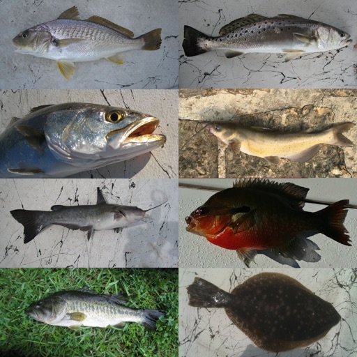
Identify species by scanning photos. View detailed information about habitats, behaviors, and diets. Explore species profiles with images and descriptions. Save favorite species and track identification history.
Catch fish by aligning the square area with the fish icon to fill a gauge. Tap the reel to complete the catch. Compete against other players for free via Skillz. Earn cash by achieving high scores.
Provides information on water activities in Copenhagen Harbour. Users can check available activities, locate swimming spots, view current strength by the sluice, check water temperature, find SUP board areas, and see UV index levels.
View real-time sonar data to locate fish. Pair device with mobile for fishing guidance. from shore, dock, or watercraft. Display fish positions on iPhone or iPad. Create custom maps with 1’ contours using GPS model.
Access real-time weather data and expert-driven strategies. Analyze local conditions to determine optimal locations and times. Receive actionable plans tailored to specific spots and weather patterns.
Catch fish species like bluegills, crappie, perch, walleyes, and northern pike. Collect cash daily at weigh-ins. Purchase tackle from a bait shop each day. Manage resources to survive harsh weather conditions.