

Apps Like Map Guided Adventures for iPhone and iPad
Ranked alternatives
Showing 281–300 of 1,000 ranked alternatives.



Fishing Forecast: Map & Points
Yaroslav Tovmashenko
Track catches, save spots, explore maps
Track catches with detailed records including species, method, size, location, and photos. Save favorite spots and access smart maps. Explore seasonal opportunities across saltwater, bass, fly, deep sea, ice, and freshwater environments.


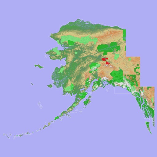
Scenic Map Alaska
Mark Granger
Explore 3D topo maps offline
View 3D topographic maps of offline with vector data. Navigate by car, boat, plane, or on foot. Access worldwide satellite maps online with automatic caching. Toggle between map types and zoom to any location.

Offline Map Navigation
virtualmaze
Navigate with turn-by-turn guidance
Navigate with turn-by-turn instructions and real-time guidance. Choose routes for car, motorbike, bicycle, or walking. Add way-points for optimized paths. Locate nearby hotels, restaurants, hospitals, and ATMs .


رحَّال | Rahhal
Abdullah Alhaider
Track trails, navigate dunes, map routes
Track trails with precise GPS mapping and save waypoints. Measure distances and elevation changes. Share routes and view real-time navigation updates. Sync with other devices for collaborative exploration.


PetStop: Dog Road Trip Planner
STEVEN DANIEL MOYER
Plan trips with pet-friendly stops
Plan trips with pet-friendly stops along your route. Find evenly spaced dog parks, rest areas, and pet-friendly locations. Get multi-stop directions with recommended break points based on distance and amenities.


Jax Parks
City of Jacksonville
Book classes, reserve spaces, and track fitness
Program registration allows users to sign up for community programs, nature experiences, and fitness classes. Facility reservations let users book pavi for events. Access real-time park information and event schedules.

Mapply for Open Street Map
Florian Chrometz
Navigate maps and explore routes
Explore maps with detailed satellite views, hiking trails, and topography. Navigate transport networks and view railway routes. Access terrain analysis and seas. Customize map layers for OpenStreetMap and tile-based maps.



Luminos Map: Twilight Nav Tool
Mapnitude Company Limited
Sun Moon Twilight Navigation Tool
The app provides real-time Sun and Moon data, including sunrise, sunset, moonrise, and moonset times globally. It features a time-chart and interactive map for accessing celestial data and exploring seasonal shifts.
How we rank alternatives
Apps are ranked by functional similarity, category fit, rating confidence, and popularity.