

Apps Like StrikeLines for iPhone and iPad
Record trips, track waypoints, download maps
Track fishing trips with GPS recording and save detailed trip data. Manage waypoints to mark and revisit productive locations. Import and export GPX files for data sharing or backup.
Ranked alternatives
Showing 361–380 of 1,000 ranked alternatives.

Topo Nomad
Delcartes LLC
Download maps for offline GPS navigation
Download high resolution USGS topographical maps for offline GPS use. View maps aligned with Apple's map kit for easy reference. Rotate, zoom, and navigate maps with precise touch controls. Explore geographical details and historical data.


Mappa - Watch Maps
Nick Romano
Track workouts, view metrics, export routes
Record workouts with heart rate, speed, elevation gain, and other metrics. Import and export GPX and FIT files. View offline with custom tiles. Overlay routes from GPX, FIT, KML, or GeoJSON files. Generate walking and cycling directions.

Canyoneer
Brice Pollock
View canyons, explore routes, share adventures
View and explore canyons with map-based search and interest filters. Access detailed canyon information, weather, routes, and waypoints. Share canyons with friends. Download offline topo maps and stay updated with latest data.


Relief Maps : backcountry gps
Batiste Vonderweidt
Explore 3D offline and navigate mountains
View 3D for hiking, skiing, trekking, paragliding, and mountaineering. Download and use USGS offline for navigation without internet. Track location with GPS. Display topographic data and elevation changes. Share map locations and routes.


Power & Sail NZ
Sail South Pacific Ltd.
Navigate routes and waypoints offline
Navigate New Zealand waters safely with offline access to detailed routes and waypoints. View anchorage information and route details. Customize map layers to manage displayed data. Mark and save waypoints for future reference.


EveryPlace - Where I've been?
Sergei Shpygar
Create travel maps and track visited places
Create and customize travel maps by marking visited countries, cities, and places. Add notes and photos to locations. Organize travel routes and collections. Track travel statistics. Share maps on social media.

WDSU Parade Tracker
Hearst Television
Track New Orleans parades in real-time.
The app tracks Mardi Gras parades and other major parades in New Orleans and southeast Louisiana. It provides real-time tracking, schedules, and maps for parades throughout the year.

GPXExplore: GPX Track Viewer
ObjectGraph LLC
View GPX tracks and see elevation changes
View GPS tracks for hiking, cycling, and running with an interactive map and elevation-based color coding. Open standard GPX files to see routes and access detailed statistics. Display tracks with a simple, read-only interface.




Tides Explorer
Lonnie Millett
Track , currents, and conditions
View tide and current predictions based on official NOAA data. Search for stations by name or location. Save favorites for quick access. Explore interactive charts for detailed information. Set alerts for specific conditions.
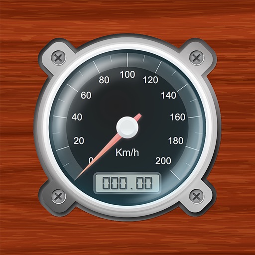
Speedometer-PRO
3B Soft srls
Speedometer and GPS trip computer.
The app tracks trips and exports data in gpx and kmz formats. It synchronizes local tracking data with a configurable OpenGTS server for fleet tracking.
How we rank alternatives
Apps are ranked by functional similarity, category fit, rating confidence, and popularity.