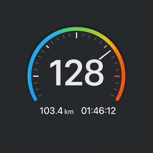
The app records vehicle travel data, displaying real-time measurements like speed, distance, and altitude. It offers features such as trip recording, customizable themes, speed limit alerts, and HUD mode.
Location with latitude, longitude, and elevation. Use compass and speedometer for navigation. paths and share data or current location with friends. View battery and pressure readings. Support 3D touch for iPhone6 and iPhone6 Plus.
Record journeys without an internet connection. Track distance, elevation, and detailed statistics. Save locations for navigation. Review routes and monitor progress without requiring mobile service.
Book rides within the Rockville or Glenmont/Wheaton zone by entering pickup and drop-off locations. Choose from available time slots. Accept bookings and meet the driver at a nearby corner. Track vehicle location and receive arrival estimates.
Track speed with accurate GPS measurements and view average and maximum speed per trip. Choose units and monitor distance traveled and estimated travel time. Use turn-by-turn navigation to build routes.
Provides real-time device orientation based on magnetic fields. Allows switching between true and magnetic north. Displays compass direction and azimuth. Includes declination information. Offers tilt sensitivity settings.
View current speed with a scalable . Track total distance and trip data including max and average speed. Export trip data as GPX, CSV, or KML files. Receive alerts when speed exceeds or falls below set limits.
Track trips with real-time GPS data including speed, position, distance, elevation, and map display. Record details and export GPX files for review in Google Earth. Sync data to a computer for geo-tagging and management.