Monitor high-risk construction activities in real time. Track potential dangers and incidents. Alert users to unsafe conditions. Initiate immediate mitigation actions. Record and review site safety data. Share updates with team members.
by Synergos Systems Company Limited★ 0.00 ratingsUtilitiesFreeData updated 2026-09-06
Block websites, scan links, secure your connection
Block websites with a curated list of dangerous sites from top security services. Monitor and control permissions. Encrypt internet traffic for private browsing. Set password alerts and manage secure connections.
Allows workers to check in to construction sites remotely using a smartphone. Users access daily briefings and toolbox talk information. They create accounts to manage site attendance and receive safety updates.
Plan routes and track vehicle locations in real time. Monitor incidents and manage risk through alerts and reports. Access historical data for analysis and improve operational efficiency.
Manage community safety by adding locations to notify nearby officers. Track patrols with GPS, reduce admin tasks through paperless shift management and trip sheet creation. Share photos for incident reporting.
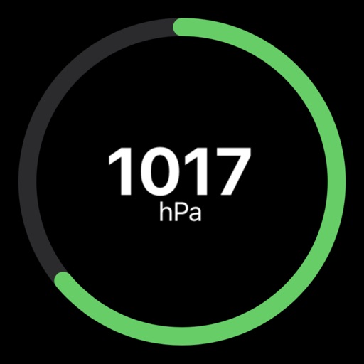
Track atmospheric with real-time updates and a simple gauge display. Monitor changes over time. Plan activities based on weather conditions. Stay prepared for sudden shifts.
Manage site access and hazard acknowledgement by presenting access instructions and showing onsite hazards. Track users accessing and leaving a site. Log hazards and incidents. Message users on site and notify when check-out is overdue.
Delete duplicate photos and organize screenshots to free up device . Use AI to identify and remove similar images. Quickly clean up cluttered albums and recover lost space without uploading data.
Create and manage daily construction reports with project setup, voice or text , and photo uploads. Generate reports automatically each day. Collaborate in real time with team and external comments. Document project details and track progress.
Provides access to utility, environmental, and geotechnical data through a GIS platform. Users can view multiple data layers on a single map. Analyze site conditions to reduce project risks and improve planning efficiency.
Create and customize inspection checklists with pre-loaded templates. Conduct real-time , capture photos and notes. Generate reports and track compliance. Share findings with team members and set reminders for follow-ups.
Track without incidents with real-time updates on current streak and maximum recorded streak. View progress history and unlock win levels based on achievement. Set goals and monitor daily progress without ads.