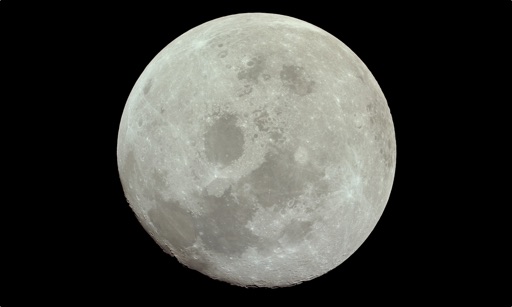
Explore historical 11 footage through interactive flip books. Use AR to animate mission maneuvers and view NASA's original footage. Learn about key events with detailed annotations and contextual information.
Coordinate with the project team to attend scheduled events. Assignments include orienting the phone and placing it upside down to capture images every 30 seconds. Submit photos for scientific analysis. Track event times and locations.
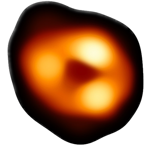
Explore cosmic events by analyzing gravitational wave data. Identify potential formations from neutron star mergers. Contribute to scientific research by reviewing and classifying detected signals.
Compare territories by moving and resizing them to visualize relative sizes. Learn statistics about area and population. Explore different map projections and their distortions.
View high-resolution radar data to track precipitation and storms. Access real-time weather station updates. Follow storm chasers for live storm tracking. Receive alerts for severe weather conditions. Share radar images and weather data with others.