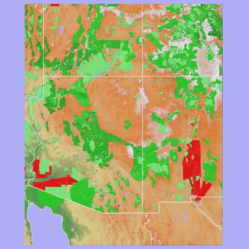
The app presents a hand-drawn 3D map of Paris, showing major sites and attractions. It provides details for attractions and includes a metro map to aid navigation.
The app provides a convenient way to search for medications and medical services in Tatarstan. It displays medication availability, stock levels, and prices across pharmacies, showing nearby locations on a map and offering optimal route guidance.
Plan trips by entering start and end stations to view routes, travel times, and transfers. Select the route from options provided. Use an interactive map to explore Lisbon and Porto lines and choose stations directly for planning.
The app provides offline GPS navigation for hiking and mountaineering, displaying the user's location on topographic maps. It allows users to record their routes and works without cell service.
Navigate using vector maps with unlimited zoom. Plan and share routes. Import and view points of interest. Synchronize with a trip-planning site. Track location without cellular reception.
The app offers an optimized user experience with a minimalistic interface and dark mode support. It provides dedicated iPad support and enhanced login options for Microsoft, Google, or TracPlus credentials.
The app provides 3D topographic maps for iPad and iPhone. Vector map data is contained within the app for offline use, supporting navigation in various environments.
The app provides coordinates, direction, and elevation above sea level. Users can save locations by searching and tapping on the map, then send this information via email, Twitter, or SMS.
Provide maps for navigation without internet connection. Zoom into detailed vector maps with continuous updates. Locate points of interest and navigate without roaming charges. Save data by avoiding international fees.
Provides maps for navigation without internet connection. Zoom in and out on detailed vector maps. Avoid roaming charges with local data usage. Locate nearby points of interest and navigate to specific addresses.
Navigation displays a compass with arrows indicating directions to stored locations. Users can view coordinates and distances to these places. Record routes for later reference or to retrace steps.
The app displays temperature, weather, and wind details for the current location. Users can move the map to update information, including temperature in Fahrenheit, Celsius, and Kelvin, wind direction and speed, air pressure, and humidity.
Navigation for maritime professionals. View vector charts and ENC data. Use AIS Class A or NMEA sensors for positioning. Connect via Bluetooth GPS for backup. Track vessel movement and route. Receive navigational alerts and updates.
The app helps users find rest stops with quality service. It provides options to view all rest stops or search along a route, filtering by amenities and brands.
The app displays the user's current location on a map of Ireland or Northern Ireland. It provides the Irish Grid Reference, compass bearing, and latitude/longitude in OSGB36 and WGS84 formats, along with GPS signal strength.
The app provides full audio sightseeing content and tourist information for the city of Tata. Users can explore points of interest using an offline map and access nearby tourist services like restaurants and shops.
"Access maps for global navigation. Zoom and explore detailed vector maps. Avoid roaming charges with data. Locate nearby points of interest and plan routes without internet."
Find bus routes and schedules for Cancun and Merida. Search for locations and get directions using public transportation. View information about nearby places and update route data regularly.
The app provides campus navigation for Chalmers University of Technology and the University of Gothenburg. It displays lecture rooms, buildings, departments, and facilities with map locations, walking directions, and photographs.
Explore the region with detailed maps and trail guidance. Discover 24 interpreted sites including natural attractions and historical landmarks. Find accommodation options and plan stops along the self-drive route.