The app offers over 1,600 helicopter footage films of Switzerland in HD or SD quality. Users can download films for viewing anytime, with interactive maps, subtitles, and GPS positioning for easy navigation and discovery of local content.
View forecasts with a timeline showing clouds, rain, snow, wind, auroras, and rainbows. Check extreme warnings for thunderstorms, fires, hurricanes, flooding, and landslides. Track minute-by-minute precipitation and wind details.
Provides offline maps of the entire United States. Displays roads, terrain, streams, lakes, and landmarks. Works without cell signal. Allows zooming and panning. Includes compass and scale. Supports saving and sharing map views.
Navigate with offline marine, lake, and outdoor maps. Access worldwide satellite and terrain overlays. View local weather forecasts. Use NOAA, USGS, and DRG data for detailed charting.
Navigate with marine and outdoor offline. Overlay satellite and terrain data on charts. Access local weather forecasts. View worldwide and satellite imagery when connected. Use NOAA raster data for detailed navigation.
Turn your iOS device into a digital depth finder. View real-time depth readings adjusted for tide levels. Access live tide data and NOAA RNC nautical charts. Navigate coastal waters, Lakes, and Lake Champlain. Set and track ports of call.
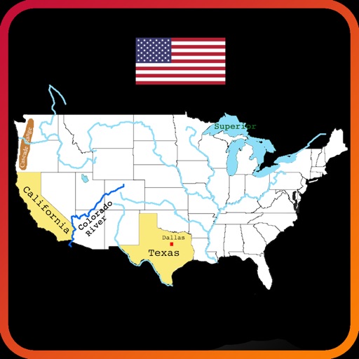
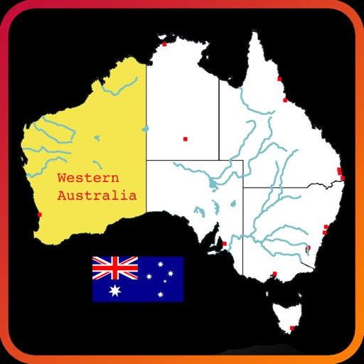
Explore an interactive map of to learn about rivers, lakes, mountain ranges, states, and city locations. Tap and drag to navigate, zoom, select, highlight, and pan the map. Test knowledge with a quiz mode. Build custom maps with selected features.