View detailed and with vector-based maps that remain clear at any zoom level. Pan, tilt, and rotate for an immersive experience. Purchase additional features within the for expanded functionality.
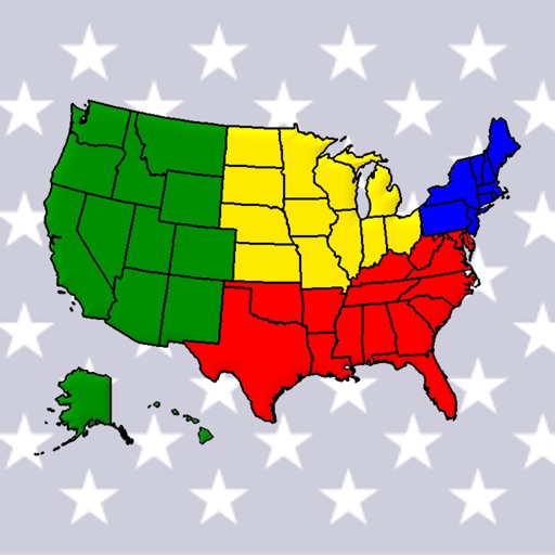
Learn geography by identifying countries, capitals, flags, emblems, currencies, and cities. Play quizzes in flag mode, capital mode, and elimination mode. Test knowledge and track progress through interactive challenges.
Find hiking trails without an internet connection. Filter by difficulty, distance, and location. View detailed trail profiles created by local authors. Save favorite routes and access information about nearby waterfalls, lakes, and mountains.
Build roads using straights, corners, bridges, and traffic light junctions. Add cars from over 20 options and place scenery. Drive cars on completed roads and avoid collisions. Include pavements and lakes in road designs.
Access detailed information on 170+ countries including population, area, geographic coordinates, government, capital cities, economy, languages, culture, and history. Quick-view features allow users to compare data and explore facts efficiently.
Manage waypoints by creating, storing, editing, and organizing them. View detailed fishing maps for accurate charting. Sync data with devices. Log favorite fishing spots and plan trips. Share waypoints across devices.
Navigate using detailed topographic and over 900,000 searchable points of interest across Canada. Plan routes, view terrain features, and access trail information. Mark locations, save waypoints, and track progress. Share and coordinates with others.