Plan and respond to chemical incidents using plume dispersion models integrated with Google Maps. Access real-time meteorological and gas sensor data. View and analyze hazard scenarios with the ALOHA® model.
Book rides by entering pickup and drop-off locations or dragging pins on a map. View nearby vehicles and select a driver. Track ride progress in real time. Pay using saved payment methods. Receive ride confirmations and driver details.
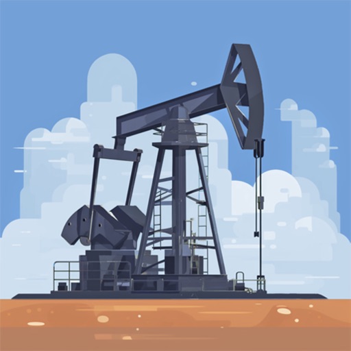
Search for oil wells across 20 states and view produced oil, water, and gas data. Filter wells by location and type. Export details and track production metrics. Navigate to sites using map views.
Estimate costs based on distance, car efficiency, and gas price. Calculate consumption using distance and vehicle efficiency. Provide results in various units.