The app displays a 3D globe of Venus with topography shown in false color. Users can manipulate the globe with gestures, view labels that appear with zoom, and access information about features.
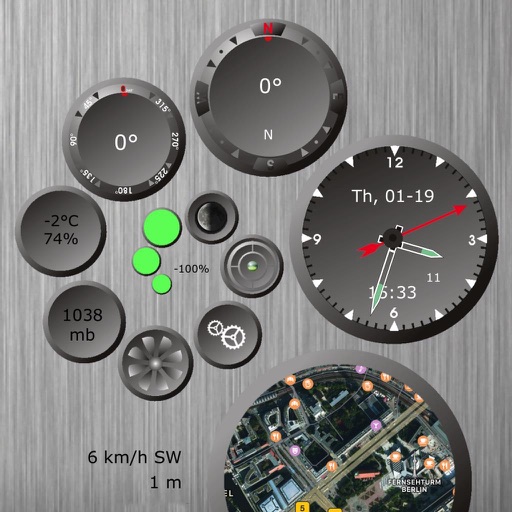
The app displays various sensor data including location, time, date, weather, compass, and more. It offers functions like a barometer, wind speed indicator, bubble level, and moon phase.
Visualize airspace using Augmented Reality. Select airports from a map, point camera at a surface, and tap to start. View 3D and animations of takeoffs and landings. Explore real-time routes above selected airports.