Set feeding distances and durations for the feeder. Activate feeding via Bluetooth connection. Monitor feeder status and receive notifications when feeding starts or stops. Adjust settings remotely through the .
The app displays real-time GPS position on marine charts derived from NOAA data. It includes features for waypoints, routes, and AIS overlay when connected to a compatible system.
Explore trips with details on species, boat types, and captain information. View pricing and schedules. Book trips directly within the without navigating to a website.
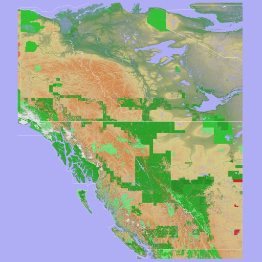
The app provides a 3D topographical map of Western Canada. Map data downloads to the device for use without an internet connection, allowing users to view terrain features as small as ten meters.