The app provides a surf fishing assistant for beginner and intermediate anglers. It offers results based on tide, surf, weather, and wind conditions, suggesting where to fish, bait, and tackle.
Track outdoor activity with GPS navigation, add waypoints and routes for navigation. Plan routes with altitude data and adjust as needed. Capture moments and save maps for future reference.
Navigate with GPS featuring offline for USA, Great Britain, France, Ireland, New Zealand, Norway, Sweden, and Denmark. View detailed terrain features, set waypoints, and track routes. Download free demo to preview map quality.
The app predicts fish location and feeding activity by considering factors affecting fish behavior. It assists with lure selection, equipment choices, and logging fishing experiences.
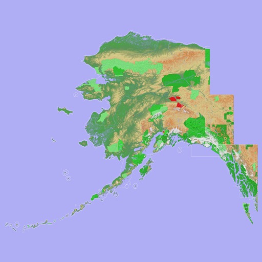
Navigate with a 3D topographic map of the USA. View detailed terrain and vector data offline. Use in vehicles or during outdoor activities. Access global maps online with automatic caching for offline use.
View 3D topographic maps of offline with vector data. Navigate by car, boat, plane, or on foot. Access worldwide satellite maps online with automatic caching. Toggle between map types and zoom to any location.
The app provides global exploration with features like immersive Street View, worldwide hiking trails, and multi-engine maps. It includes a smart route planner, pro-grade data, offline map capabilities, and an exploration archive for saving journeys.