Search for addresses to retrieve information. Long-press on the map to view details for properties. Create and complete the Standard Hazard Determination Form directly on iPad or iPhone, including community and map data.
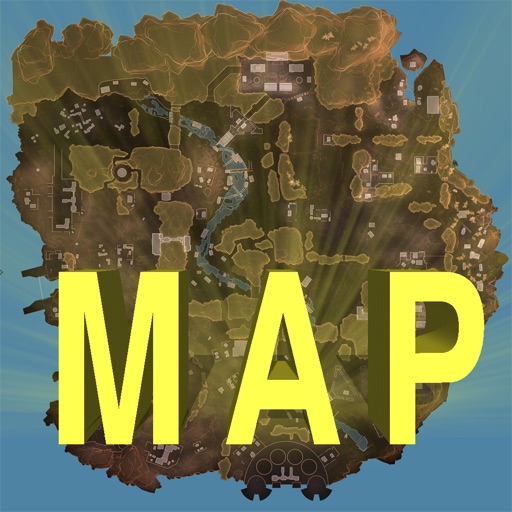
Track locations, respawn beacons, survey beacons, crates, and jump towers. Toggle points of interest on and off. Share markers with friends to coordinate strategies. View interactive map with detailed location data.
Plan trips by analyzing speed limits and unlimited sections along routes. View detailed maps with speed zone information. Explore highway data and historical speed records. Save and share route details with specific speed restrictions highlighted.