Trips with modes for walking, , and biking. View speed, distance, and elevation via GPS. Use HUD mode to display speed on the windshield. Monitor odometer and altimeter readings. Export trip data and set distance alerts.
Provides GPS altitude and pressure altitude readings. Displays speed in kph, mph, and knots. Measures barometric pressure in multiple units. Tracks acceleration in G forces. Shows location, magnetic, and true heading.
Find ' system requirements and compare them with your phone specs. Check if your device can run the game. Add to a personal list. Test internet speed with a built-in speedometer. Receive notifications for new . Integrate with iOS Siri shortcuts.
Track speed in using units like meters per second, miles per hour, and kilometers per hour. Display speed in English or Spanish. Allow users to request additional language support.
Allow users to explore locations without an internet connection. They include detailed global with millions of points of interest. Users can download for use and bookmark favorite locations. GPS tracking enables recording of travel routes.
The app tracks trips and exports data in gpx and kmz formats. It synchronizes local tracking data with a configurable OpenGTS server for fleet tracking.
Share real-time location with contacts via phone number or email. View others' locations from any web-enabled device without needing an . Request ' locations or share your own for tracking.
Track speed using GPS with real-time updates. Display current speed, distance traveled, and time elapsed. Save trip data and view historical speed logs. Share speed records via social media or email.
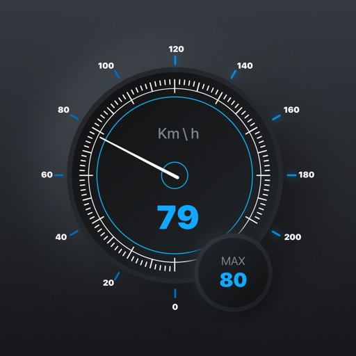
Track with real-time alerts when exceeding set limits. Choose between KM/H or for customizable units. Display in multiple formats including analog and digital dials. Share data via email or social media. Set and adjust limits remotely.
Monitor speed in real-time with a customizable interface. Display current speed, trip distance, and fuel efficiency. Set speed limits and receive alerts. Sync with Bluetooth devices for accurate readings.
The app provides access to peak information, route descriptions, route maps, and trailhead details for Colorado's 14ers. Users can access necessary information even when off the grid and record tracks for export.
Display speed in miles per hour or kilometers per hour. Show altitude and direction. Switch units by tapping the screen. Track speed for cars, trains, buses, bicycles, and other vehicles.