Track routes with detailed notes and environmental
Track routes with distance, terrain, and difficulty metrics. Record observations with environmental data, photos, and custom tags. Organize locations, field notes, and travel journals. Filter and search collections for quick access to field data.
by Prajapati Bhavik Arvind★ 3.914 ratingsNavigationFreeData updated 2026-09-06
Track vehicle locations and view current position. Search for addresses and navigate using GPS. Estimate time to reach specific locations like ATMs, hospitals, and schools. View maps and update routes in real time.
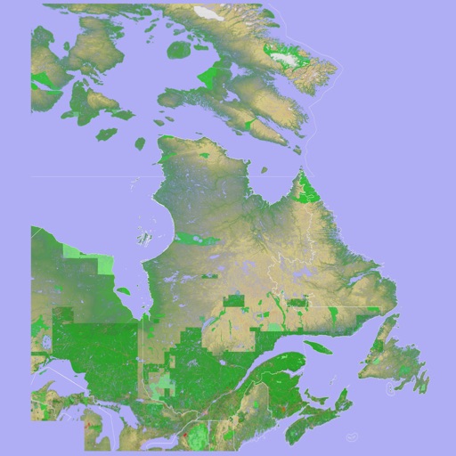
The app presents a 3D topographic map of Eastern Canada. Users can download map data for use without an internet connection, suitable for various travel methods.