
PFMA E6B
Gonzalo Esteban Astica Capra
Manage flight data and calculate fuel burn
Navigation provides flight planning and in-flight calculations. Users can customize quick access buttons, configure units, and manage blocks and airtime.

Showing 121–140 of 1,000 ranked alternatives.
Gonzalo Esteban Astica Capra
Manage flight data and calculate fuel burn
Navigation provides flight planning and in-flight calculations. Users can customize quick access buttons, configure units, and manage blocks and airtime.

Yassir Hrout
Edit data and track coordinates
Save locations with exact GPS coordinates and altitude. View real-time weather and wind data. Use the compass for accurate direction tracking. Organize saved points and share coordinates directly.

Pavel Ahafonau
Track routes, find waypoints, and navigate offline
Navigate outdoors with offline GPS maps and real-time augmented reality. Track waypoints and custom locations. Use a gyrocompass, speedometer, altimeter, and inclinometer. Find celestial bodies and measure angles.

Anton Wenemoser
Plan trips and navigate offline
Navigation allows users to plan trips and navigate without cellular service. View and edit maps based on OpenStreetMap data. Search waypoints and save locations offline. Track routes and share maps. Prioritize privacy with no user identification.


Appeclectic Ltd
Track flights, view maps, monitor arrivals
Track flights in real time with interactive maps worldwide. View departure and arrival boards for airports. Monitor flights of friends or family. Receive alerts for status changes. Share data via social media.

Muhammad Hussain
Fly planes, manage flights, and explore skies
Control aircraft with realistic flight instruments and navigation systems. Manage in-game fuel and cargo. Complete missions and upgrade planes. Explore 3D environments and interact with airports.

BJA Consulting Pty Ltd
Navigate, plan, and fly with precision
Plan flights with terrain warning, restricted airspace status, and IFR airway planning. View geo-referenced taxi and approach diagrams. Manage flight data, check weather, and access navigation charts.

Bist LLC
Navigate property lines and hunting zones
Navigation allows users to view property line , parcels, and public lands. Access land ownership details and map layers for 50+ states including hunting zones and restricted areas.


Garmin International
Navigate with offline charts and features
View detailed navigational charts offline with multiple overlays. Access real-time data and historical information. Plan routes and track progress. Set waypoints and measure distances. Sync with other devices for collaborative navigation.


John Spinks
Map coordinates displayed worldwide clearly.
The app displays map coordinates in multiple grid formats including British Grid, Irish Grid, MGRS, and UTM. It also shows Latitude & Longitude in decimal and sexagesimal notation for global use.



Abbro Inc
View , edit layers, share annotations
View PDF, TIFF, KAP, and KML files. Sync with iCloud, Google Drive, OneDrive, and Dropbox. Add placemarks, record tracks, and draw shapes. Share annotations in real time. Use tools like theodolite and georeferencer for map editing.
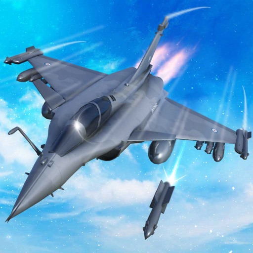
Fatima Ahmed
Train pilots, build squad, launch attacks
Train pilots for air combat missions. Customize jets with upgrades. Manage squad formations and tactics. Execute airstrikes on enemy positions. Track progress through mission-based challenges. Unlock new aircraft and weapons.

Zirak Srl
Track trails, log routes, and map
Track outdoor activities with real-time GPS mapping, displaying distance, time, elevation gain, and speed. Compare routes with downloaded tracks and view points of interest.

Audama Software, Inc.
Save, organize, share location records.
The app organizes location data into sets and groups. It displays and converts between coordinate formats, allowing for custom properties and map overlays.

TRAN TRUNG CHUYEN
Record routes and collect field data
Record routes from specific locations to survey sites and display them on a map. Measure distances between coordinates or map points. Calculate areas using coordinate lists or map selections.
Apps are ranked by functional similarity, category fit, rating confidence, and popularity.