Track speed, distance, elevation, and weather in real time. View travel time estimates. Access a Heads Up Display for quick information. Monitor trip details and receive alerts for speed limits and road conditions.
Manage GPS trackers with real-time tracking and push notifications. Set geofenced areas and no-go zones. Receive alerts for low battery, SOS, and speed limit exceed. View detailed history, reports, and device information.
Monitor cameras and red light cameras with real-time alerts. Access a global database of over 100,000 cameras, including 8000+ in the USA. Navigate with turn-by-turn directions and traffic updates. Receive notifications for limits and locations.
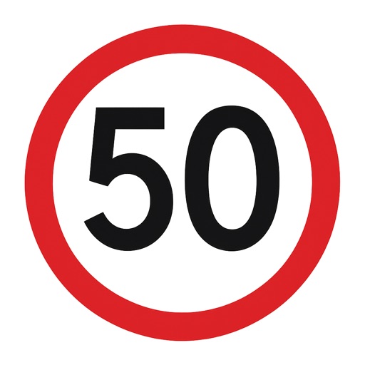
Display in both kilometers per hour and miles per hour. Switch between day and night themes. Show in a large circular display. Include an accuracy indicator that changes color based on location precision. Toggle dark mode.
Access camera feeds from various countries. View real-time visuals of highways, intersections, and city streets. Navigate and monitor conditions remotely.
Navigation allows users to view and share GPS coordinates in six formats. It includes a , altitude, distance, and sunset/sunrise tracking. Users can set and edit waypoints with photo or audio notes.
Provide real-time GPS navigation with turn-by-turn voice guidance and live traffic updates. Display speed limits and alert drivers to traps. Access offline maps for areas without internet. Share routes and track progress during trips.
Navigate with truck-specific GPS routes that avoid low bridges and restricted areas. Access real-time traffic updates and offline maps. Find parking locations and weigh stations. Communicate via a driver-to-driver walkie-talkie feature.
Location with latitude, longitude, and elevation. Use compass and speedometer for navigation. paths and share data or current location with friends. View battery and pressure readings. Support 3D touch for iPhone6 and iPhone6 Plus.