View maps in multiple styles and overlay grids for precise navigation. Access live location data including coordinates, address, heading, and speed. Plan routes with detailed terrain analysis and save custom waypoints.
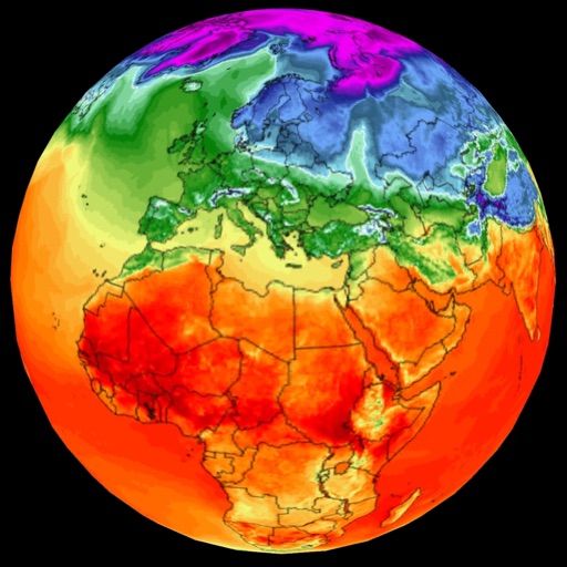
Display speed, heading, and trip data using GPS. Choose between mph, km/h, and kts units. Show current and next 24-hour weather based on location. Track altitude, odometer, and drive details.
Monitor marine conditions for fishing and boating. View wave forecasts and NOAA ocean data. Check sea surface temperature, chlorophyll levels, and water clarity. Access real-time tide information and sun/moon phases.