Displays and heights for over 3200 coastal locations. Shows first/last light, sunrise/sunset, and moon phase data. Supports local time with daylight saving adjustments. Switch between metres and feet.
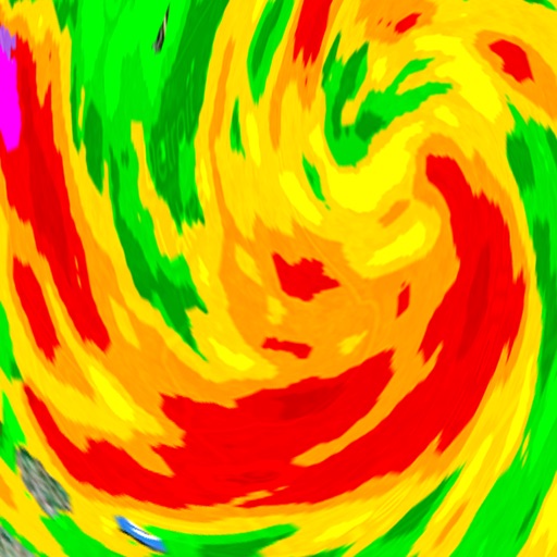
View real-time radar and satellite imagery for weather tracking. Explore interactive maps with vertical and horizontal views. Access color-coded alerts by severity. Check the Road Weather Index for road conditions.
Track ski descents automatically with speed, distance, and elevation data. Review daily summaries and save entries in a personal ski diary. Compare performances with friends and relive ski days through recorded sessions.
Provides hyper-local current and future conditions. Users view data on interactive maps and glanceable tables. They access real-time ocean drone data for precise forecasts. Track temperature, wind speed, and wave height.
Access real-time ocean data including wave heights, wind speed, water temperature, and currents from over 750 buoys. View detailed forecasts and conditions for sailing, surfing, and fishing.
Monitor severe with real-time and storm signatures including vortex, hail storm, and damaging wind indicators. Access reports on tornadoes, severe hail, and damaging winds.
Navigate using GPS, AIS Online, and radar. View charts for coastal boating, sailing, and fishing. Track tides and currents. Set anchoring points. Sync with Apple Health. Share routes and waypoints.
Get real-time weather updates with current temperature, humidity, wind speed, and air pressure. View detailed forecasts for your location or any global destination. Receive alerts for severe weather conditions. Track weather trends over time.
Display current with art visuals. Check hourly forecasts and daily trends. Customize alerts for severe . Share updates via social media. Sync with Apple Health for activity tracking.
View real-time data on a map with zoom and scroll features. Check current conditions on Utah freeways and streets. See accident locations, road construction, and weather alerts. Get updates on special events impacting .
View real-time images and current conditions. Tap to zoom and pan across maps. Receive alerts for severe . Share images via social media or email. Sync with location for automatic updates.