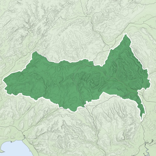
Download for national parks and USGS topographic regions for offline use. Access 150 NPS park and 60,000+ topographic . Use GPS navigation without internet connectivity. Save for later use in areas with no data service.
Track segments with user ratings and reviews. Locate campsites, water points, and Angels. Add personal locations and share new sites with other hikers. Access information without adding weight to your backpack.
The app records user trips, displaying tracks, position, and live information like speed and altitude. It also measures distances, areas, and perimeters by placing points on the map.
Plan trips with an itinerary builder and import plans from wisepilgrim.com. Access a directory of accommodations including albergues, campsites, hotels, and pensions. Leave and receive tips for other pilgrims.
Plan and navigate boating trips with real-time tracking and high-resolution digital charts covering the US, Europe, and other regions. View vector charts with tappable buoys and lights. Pan and zoom seamlessly across maps.