The app identifies Corsican peaks, passes, lakes, and attractions. Users can view names, altitudes, and distances of summits, and locate nearby shelters, water sources, and points of interest.
Access offline travel guides for . Explore thousands of attractions and tourist sites. Use an offline map for navigation. Retrieve offline information without internet. Download offline audio guides totaling 30 hours.
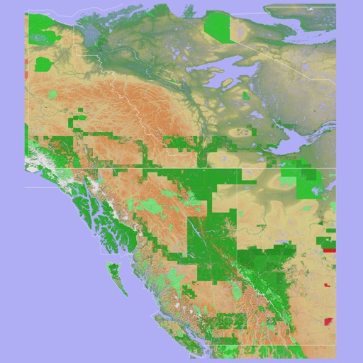
The app provides a 3D topographical map of Western Canada. Map data downloads to the device for use without an internet connection, allowing users to view terrain features as small as ten meters.