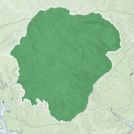
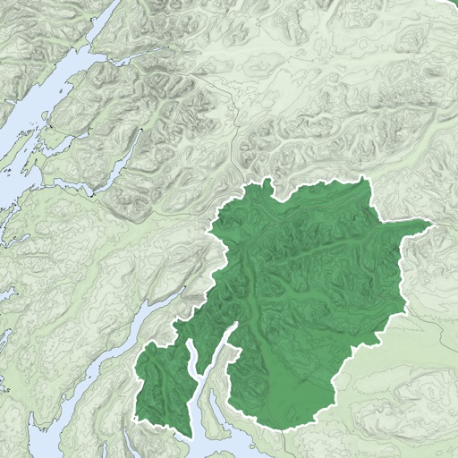
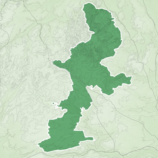
Navigation provides offline global maps for iPhone and iPad. Users can draw routes, view elevation profiles, and access detailed terrain maps without internet. Hikers and cyclists benefit from specialized route networks and clear map details.
Plan cycling routes by drawing on an interactive map and using automatic bike-friendly routing for road, gravel, and mountain biking. Add waypoints and points of interest. Export routes to GPX for your bike computer.
Plan routes on iPhone, sync them to Apple Watch. Navigate without phone or network. View maps and track progress. Set waypoints and receive turn-by-turn directions. Adjust settings for different activities like hiking, running, or cycling.