

Apps Like eOceanic for iPhone and iPad
Ranked alternatives
Showing 501–520 of 1,000 ranked alternatives.


Victoria Tide Times
Xentore Pty Ltd
Track tides, sunrises, and sunsets
Track tidal information for 49 locations in . View current and future and heights. Check sunrise and sunset . Select specific beaches, rivers, or fishing spots for detailed data.


NOAA Tide Chart Pro
NextStack LLC
Track tides and view station data
View real-time data from sources. Check predicted high and low tides. Set location-based alerts. Track water levels and currents. Share observations with others.


Topo maps - Norway
Shingle Oy
Detailed topographic map of Norway.
The app provides detailed topographic maps of Norway for offline use. Users can download map areas, record tracks, plan routes, and measure distances and angles.



Groundspeed
Heinrich Schnermann
Speed above ground large display
The app displays speed above ground with a large, 16-segment-digit display. It supports units including mph, knots, m/s, and km/h, and allows for decimal place adjustments.




Scenic Map Central USA
Mark Granger
Explore 3D maps offline worldwide
Navigate with a 3D topographic map of the USA. View detailed terrain and vector data offline. Use in vehicles or during outdoor activities. Access global maps online with automatic caching for offline use.
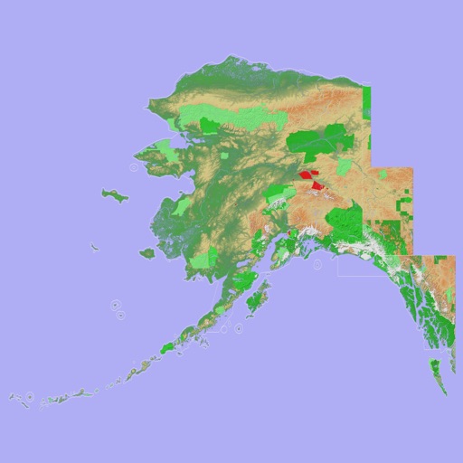
Scenic Map Alaska
Mark Granger
Explore 3D topo maps offline
View 3D topographic maps of offline with vector data. Navigate by car, boat, plane, or on foot. Access worldwide satellite maps online with automatic caching. Toggle between map types and zoom to any location.

FlyBy Nav
Lonnie Ganz
Flight planning made simple for pilots.
The app displays track, heading, distance, ground speed, time enroute, ETA, and fuel burn on one screen. It includes METAR and TAF weather access and 55,000 airports and navaids offline.
How we rank alternatives
Apps are ranked by functional similarity, category fit, rating confidence, and popularity.